


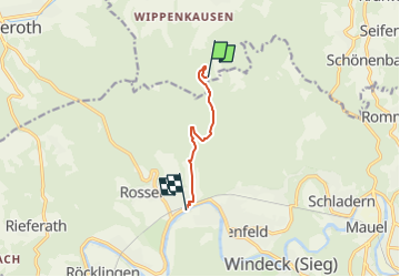

4,2 km | 5,4 km-effort

Tous les sentiers balisés d’Europe GUIDE+


Application GPS de randonnée GRATUITE
 SityTrail
IGN / Instituts géographiques
SityTrail World
Le monde est à vous
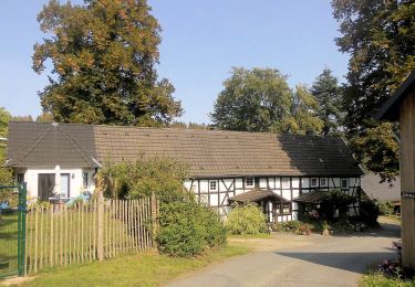
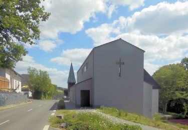
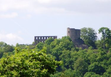
Randonnée A pied de 4,7 km à découvrir à Rhénanie-du-Nord-Westphalie, Oberbergischer Kreis, Waldbröl. Cette randonnée est proposée par SityTrail - itinéraires balisés pédestres.
Randonnée créée par Naturregion Sieg.
Symbole: weißes S auf rotem Grund
Site web: https://www.naturregion-sieg.de/
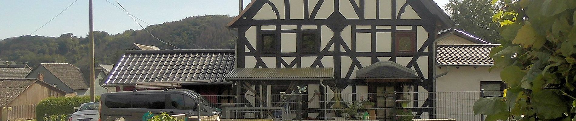
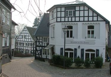
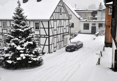
 - Photo 1")
 - Photo 2")
 - Photo 3")
 - Photo 4")
 - Photo 5")
 - Photo 6")
 - Photo 7")
 - Photo 8")
A pied
A pied
A pied
A pied
A pied
A pied
A pied
A pied
A pied