


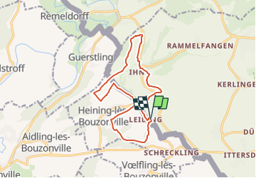

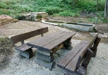
12,1 km | 16 km-effort


Tous les sentiers balisés d’Europe PRO


Application GPS de randonnée GRATUITE
 SityTrail
IGN / Instituts géographiques
SityTrail World
Le monde est à vous
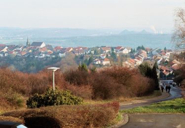
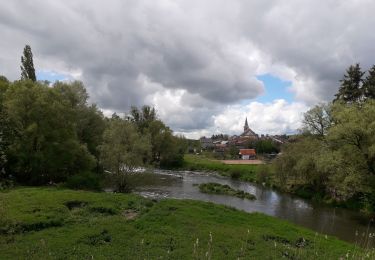
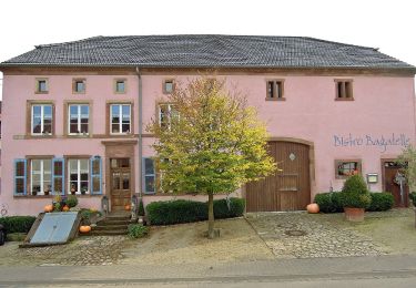
Randonnée A pied de 13,5 km à découvrir à Sarre, Landkreis Saarlouis, Vaudrevange. Cette randonnée est proposée par SityTrail - itinéraires balisés pédestres.
Symbole: Traumschleifenlogo u. "Grenzblickweg"


A pied
A pied
A pied
A pied
A pied

Marche
V.T.T.
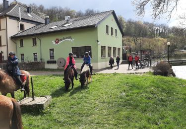
Randonnée équestre
A pied