


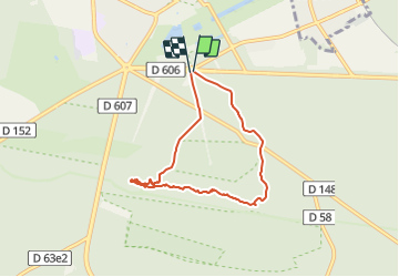


18 km | 22 km-effort

Tous les sentiers balisés d’Europe PRO


Application GPS de randonnée GRATUITE
 SityTrail
IGN / Instituts géographiques
SityTrail World
Le monde est à vous
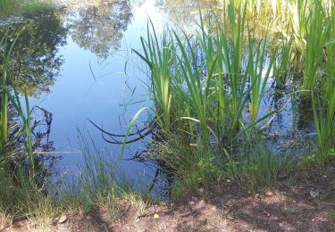
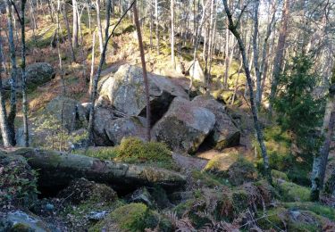
Randonnée A pied de 6 km à découvrir à Île-de-France, Seine-et-Marne, Fontainebleau. Cette randonnée est proposée par SityTrail - itinéraires balisés pédestres.
Randonnée créée par Association des Amis de la Forêt de Fontainebleau AFF.
Symbole: blue_line


Marche
A pied

Marche

Marche
Marche
Marche
Marche
Marche

A pied