


32 km | 37 km-effort
Randonnées au coeur d'une nature préservée GUIDE+


Application GPS de randonnée GRATUITE
 SityTrail
IGN / Instituts géographiques
SityTrail World
Le monde est à vous
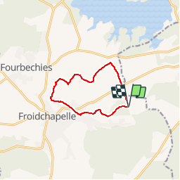
Randonnée Marche de 8,3 km à découvrir à Wallonie, Hainaut, Froidchapelle. Cette randonnée est proposée par La Forêt du Pays de Chimay.
Cette charmante promenade, au départ du bois du Grand Berceau, emprunte de petites routes peu fréquentées et sillonne notamment de nombreux « lieux-dits ». Vous pourrez admirer tantôt un paysage vallonné, tantôt une maison isolée ou encore un étang et sa nature. Du « Champ du Four » au « Champ de la Truie », vous emprunterez de superbes chemins de campagne et des sentiers boisés qui vous conduiront, à mi-parcours, à « la Tourpène » d'où vous aurez une vue imprenable sur le centre du village de Froidchapelle. Profitez du passage par le quartier haut perché de « Paye à Fait» pour admirer la vue et vous laisser descendre sur le quartier du « Pont des Hamaides » avant d'entamer une remontée vers le «Troupeau ». Vous terminerez la promenade dans les sentiers du bois du Grand Berceau où, si vous avez encore du courage, vous pourrez vous adonner aux joies du sport sur la piste Vita et, pourquoi pas, clôturer le tout par un bon barbecue.
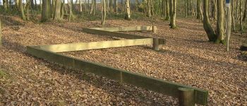
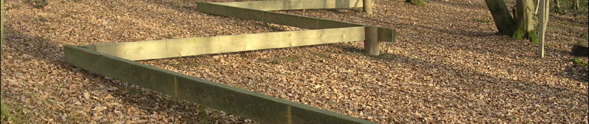
 - Promenade du Grand Berceau - Photo 1")
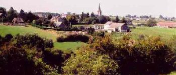
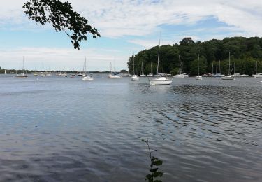
 - Promenade du Grand Berceau - Photo 2")
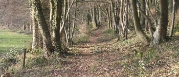
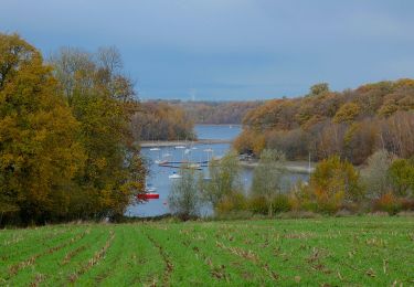
 - Promenade du Grand Berceau - Photo 3")

V.T.T.
Marche

Marche

Marche
Marche
Marche
A pied
Marche

Marche
une agréable promenade