


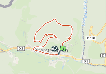

15,6 km | 25 km-effort

Tous les sentiers balisés d’Europe PRO


Application GPS de randonnée GRATUITE
 SityTrail
IGN / Instituts géographiques
SityTrail World
Le monde est à vous
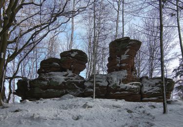
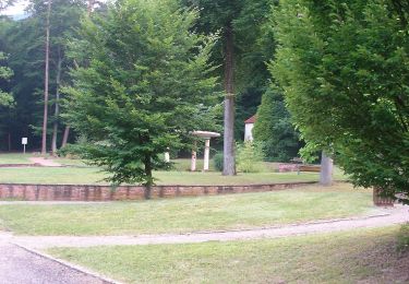
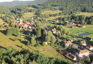
Randonnée A pied de 3,8 km à découvrir à Grand Est, Bas-Rhin, Obersteinbach. Cette randonnée est proposée par SityTrail - itinéraires balisés pédestres.
Randonnée créée par Club Vosgien.
Site web: https://www.wanderparadies-wasgau.de/wanderung-obersteinbach-petit-arnsberg.php


Marche
A pied

A pied
A pied
A pied

A pied
A pied
A pied