


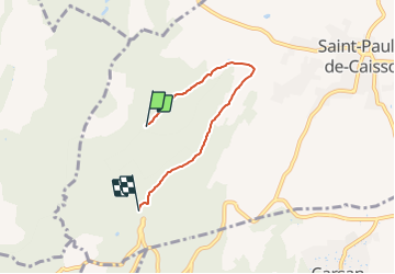

3,3 km | 4,4 km-effort

Tous les sentiers balisés d’Europe PRO


Application GPS de randonnée GRATUITE
 SityTrail
IGN / Instituts géographiques
SityTrail World
Le monde est à vous
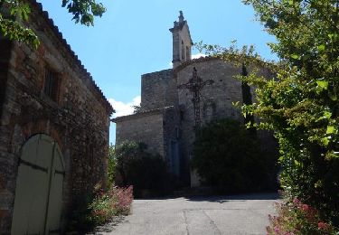
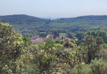
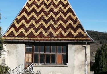
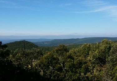
Randonnée A pied de 4,1 km à découvrir à Occitanie, Gard, Saint-Paulet-de-Caisson. Cette randonnée est proposée par SityTrail - itinéraires balisés pédestres.

Marche
Marche

V.T.T.
Marche
Marche
Cyclotourisme
Marche
Marche
Marche