Randonnée A pied Aschau im Chiemgau - Öko-Kultur-Weg - Photo

Tous les sentiers balisés d’Europe PRO

© OpenStreetMap contributors
Longueur
Longueur
5,4 km
Altitude max
Altitude max
797 m
Dénivelé positif
Dénivelé positif
186 m
Km-Effort
Km-Effort  
7,8 km
Altitude min
Altitude min
702 m
Dénivelé négatif
Dénivelé négatif
175 m
Boucle
Boucle
Non
Balise
Balise
Date de création :
2022-02-16 16:26:16.855
Dernière modification :
2022-02-16 16:26:16.855

(0 Avis)

A pied
A pied
1h46
Difficulté : Facile

Scannez ce code QR pour ouvrir la randonnée dans l'application SityTrail

Application GPS de randonnée GRATUITE

Logo SityTrail SityTrail

IGN / Instituts géographiques

Télécharger SityTrail sur l'App Store Télécharger SityTrail sur Google Play

Logo SityTrail SityTrail World

Le monde est à vous

Télécharger SityTrail sur l'App Store Télécharger SityTrail sur Google Play Télécharger SityTrail sur Huawei AppGallery

À propos

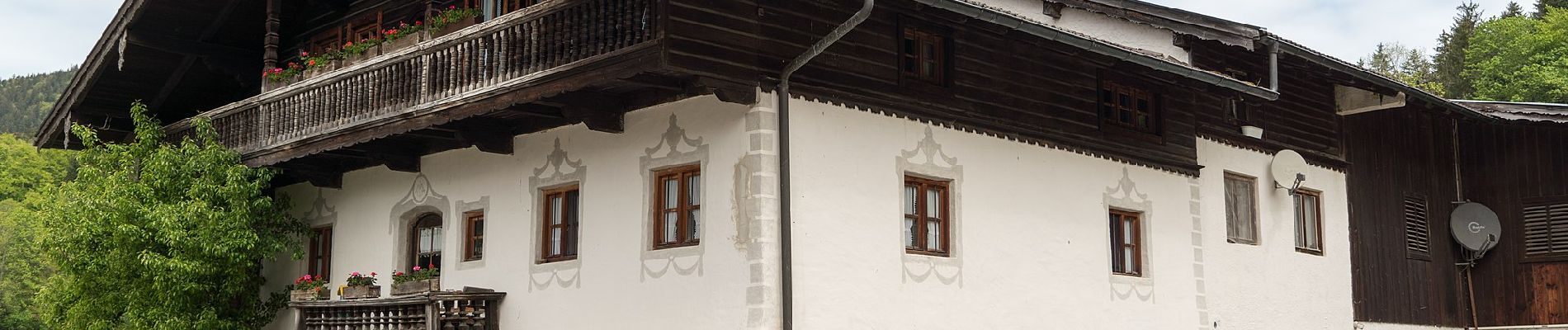
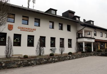
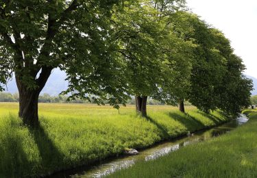
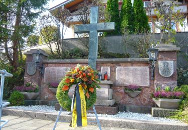
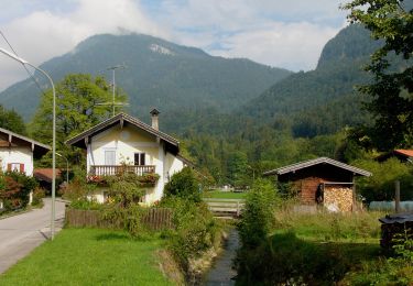
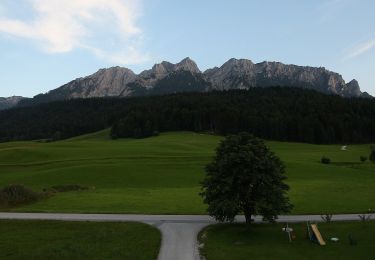
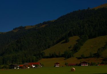
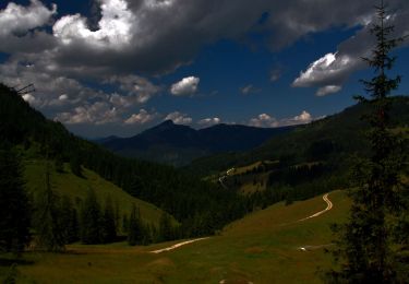
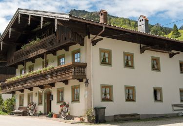
Randonnée A pied de 5,4 km à découvrir à Bavière, Landkreis Rosenheim, Aschau im Chiemgau. Cette randonnée est proposée par SityTrail - itinéraires balisés pédestres.

Description

Symbole: Holzschilder mit der Aufschrift "Öko-Kultur-Weg" oder hellblaue Blechschilder mit weißen Silouetten von Kirchen, Bäumen und einer Kuh

Photos

Localisation

Pays :
Allemagne
Région :
Bavière
Département/Province :
Landkreis Rosenheim
Commune :
Aschau im Chiemgau
Localité :
Unknown
Départ:(UTM)
294117 ; 5284581 (33T) N.

Randonnées à proximité

Randonnée A pied Gemeinde Ebbs - Inn Rundweg - Photo
A pied
PRO

A pied

Facile
Gemeinde Ebbs, Tyrol, Bezirk Kufstein, Autriche
4,1 km | 4,4 km-effort
1h 0min
Oui
Randonnée A pied Gemeinde Ebbs - Fohlenhof-Runde - Photo
A pied
PRO

A pied

Facile
Gemeinde Ebbs, Tyrol, Bezirk Kufstein, Autriche
7 km | 7,8 km-effort
1h 46min
Oui
Randonnée A pied Gemeinde Niederndorf - Dorf-Runde - Photo
A pied
PRO

A pied

Facile
Gemeinde Niederndorf, Tyrol, Bezirk Kufstein, Autriche
3,9 km | 4,4 km-effort
59min
Oui
Randonnée A pied Aschau im Chiemgau - Wanderweg 1 - Von Sachrang nach Walchsee - Photo
A pied
PRO

A pied

Facile
Aschau im Chiemgau, Bavière, Landkreis Rosenheim, Allemagne
10 km | 12,7 km-effort
2h 53min
Non
Randonnée A pied Gemeinde Walchsee - Wanderweg 35 - Kaiserwinkl - Photo
A pied
PRO

A pied

Facile
Gemeinde Walchsee, Tyrol, Bezirk Kufstein, Autriche
4,2 km | 5 km-effort
1h 8min
Non
Randonnée A pied Gemeinde Walchsee - Wanderweg 57 - Kaiserwinkl - Photo
A pied
PRO

A pied

Facile
Gemeinde Walchsee, Tyrol, Bezirk Kufstein, Autriche
7,6 km | 14,9 km-effort
3h 23min
Non
Randonnée A pied Gemeinde Walchsee - Wanderweg 55 - Kaiserwinkl - Photo
A pied
PRO

A pied

Facile
Gemeinde Walchsee, Tyrol, Bezirk Kufstein, Autriche
4,8 km | 10,2 km-effort
2h 19min
Non
Randonnée A pied Gemeinde Walchsee - Wanderweg 53 - Kaiserwinkl - Photo
A pied
PRO

A pied

Facile
Gemeinde Walchsee, Tyrol, Bezirk Kufstein, Autriche
6,1 km | 13,6 km-effort
3h 5min
Non
Randonnée A pied Aschau im Chiemgau - Wanderweg 8 - Von Innerwald zum Spitzsteinhaus bzw. Klausenhütte - Photo
A pied
PRO

A pied

Facile
Aschau im Chiemgau, Bavière, Landkreis Rosenheim, Allemagne
4,4 km | 12 km-effort
2h 43min
Non


Fermer
Mes abonnements