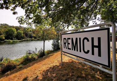
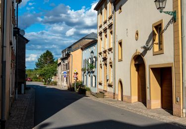
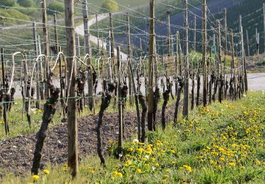
Randonnée A pied Remich - Autopedestre Remich - Photo

Tous les sentiers balisés d’Europe GUIDE+

© OpenStreetMap contributors
Longueur
Longueur
9,5 km
Altitude max
Altitude max
259 m
Dénivelé positif
Dénivelé positif
179 m
Km-Effort
Km-Effort  
11,9 km
Altitude min
Altitude min
139 m
Dénivelé négatif
Dénivelé négatif
175 m
Boucle
Boucle
Oui
Balise
Balise
Date de création :
2022-02-17 11:09:44.689
Dernière modification :
2022-02-17 11:09:44.689

(1 Avis)

A pied
A pied
2h42
Difficulté : Facile

Scannez ce code QR pour ouvrir la randonnée dans l'application SityTrail

Application GPS de randonnée GRATUITE

Logo SityTrail SityTrail

IGN / Instituts géographiques

Télécharger SityTrail sur l'App Store Télécharger SityTrail sur Google Play

Logo SityTrail SityTrail World

Le monde est à vous

Télécharger SityTrail sur l'App Store Télécharger SityTrail sur Google Play Télécharger SityTrail sur Huawei AppGallery

À propos

Randonnée A pied de 9,5 km à découvrir à Inconnu, Canton Remich, Remich. Cette randonnée est proposée par SityTrail - itinéraires balisés pédestres.

Profil altimétrique

Localisation

Pays :
Luxembourg
Région :
Inconnu
Département/Province :
Canton Remich
Commune :
Remich
Localité :
Unknown
Départ:(UTM)
308934 ; 5491926 (32U) N.

Commentaires

Veuillez vous connecter pour laisser un commentaire ou une note


Très agréable entre vignes et forêt. Très beaux points de vue sur Remich et la Moselle


Randonnées à proximité

Randonnée Marche Schengen - Autopedestres : Wellenstein - Photo
Marche
GUIDE+

Marche

Très facile
(1)
Schengen, Inconnu, Canton Remich, Luxembourg
7,9 km | 11,2 km-effort
Inconnu
Oui
Randonnée A pied Palzem - VIA CALIGA - Wincheringen - Photo
A pied
GUIDE+

A pied

Moyen
Palzem, Rhénanie-Palatinat, Landkreis Trier-Saarburg, Allemagne
21 km | 27 km-effort
6h 14min
Oui
Randonnée A pied Palzem - VIA CALIGA - Palzem - Photo
A pied
GUIDE+

A pied

Moyen
Palzem, Rhénanie-Palatinat, Landkreis Trier-Saarburg, Allemagne
22 km | 29 km-effort
6h 29min
Oui
Randonnée A pied Perl - Dolinenweg - Photo
A pied
GUIDE+

A pied

Facile
Perl, Sarre, Landkreis Merzig-Wadern, Allemagne
7 km | 9,1 km-effort
2h 3min
Oui
Randonnée A pied Schengen - Circuit Cremant - Photo
A pied
GUIDE+

A pied

Facile
Schengen, Inconnu, Canton Remich, Luxembourg
4,8 km | 6,5 km-effort
1h 29min
Oui
Randonnée A pied Schengen - Naturpfad Reif - Photo
A pied
GUIDE+

A pied

Facile
Schengen, Inconnu, Canton Remich, Luxembourg
5,2 km | 7,3 km-effort
1h 40min
Oui
Randonnée A pied Schengen - Autoped Bech-Kleinmacher - Photo
A pied
GUIDE+

A pied

Facile
Schengen, Inconnu, Canton Remich, Luxembourg
5,5 km | 7,1 km-effort
1h 37min
Oui
Randonnée A pied Mondorf-les-Bains - Auto-Pédestre Ellange - Photo
A pied
GUIDE+

A pied

Facile
Mondorf-les-Bains, Inconnu, Canton Remich, Luxembourg
9,4 km | 11,9 km-effort
2h 41min
Oui
Randonnée A pied Stadtbredimus - Trëppeltour Wäin, KulTour & Landschaft pur - Photo
A pied
GUIDE+

A pied

Facile
Stadtbredimus, Inconnu, Canton Remich, Luxembourg
6,8 km | 8,7 km-effort
1h 58min
Oui


Fermer
Mes abonnements