


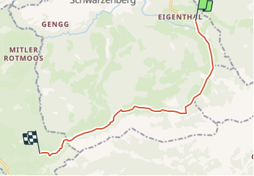

4,5 km | 9 km-effort


Optez pour le retour à la nature GUIDE+


Application GPS de randonnée GRATUITE
 SityTrail
IGN / Instituts géographiques
SityTrail World
Le monde est à vous
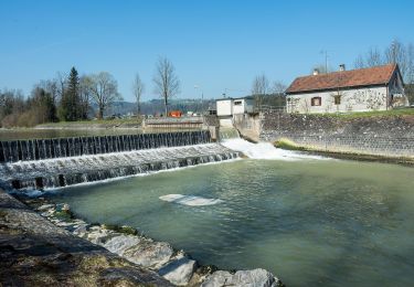
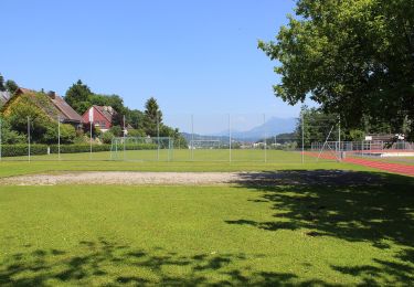
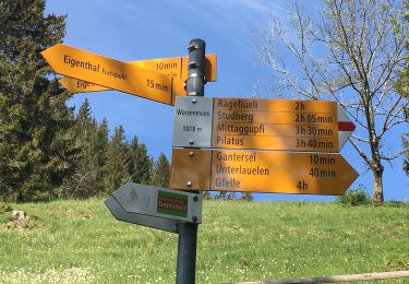
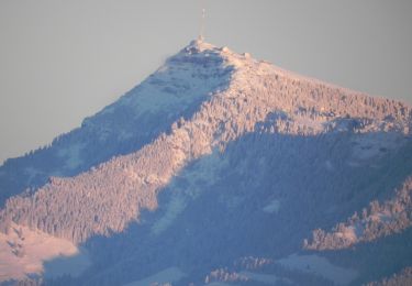
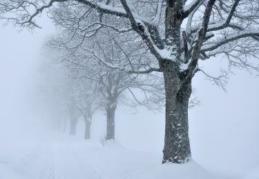
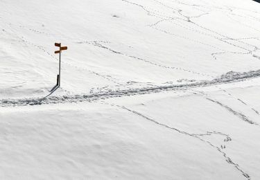
Randonnée Marche de 10,3 km à découvrir à Lucerne, Inconnu, Schwarzenberg. Cette randonnée est proposée par My Switzerland.
A pied
A pied
A pied
A pied
A pied
A pied
A pied
A pied