


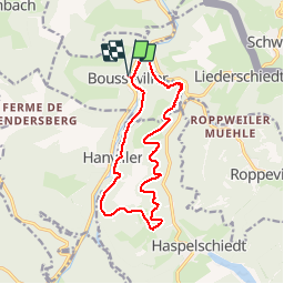

13 km | 16,1 km-effort

Utilisateur


Application GPS de randonnée GRATUITE
 SityTrail
IGN / Instituts géographiques
SityTrail World
Le monde est à vous
Randonnée Marche de 13,1 km à découvrir à Grand Est, Moselle, Bousseviller. Cette randonnée est proposée par tracegps.
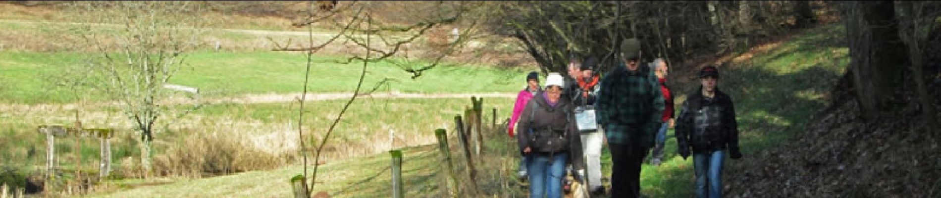
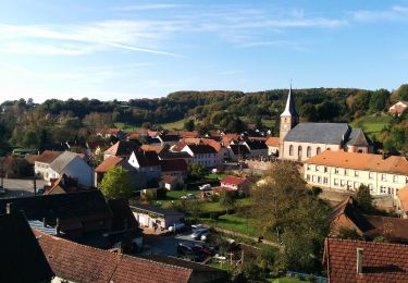
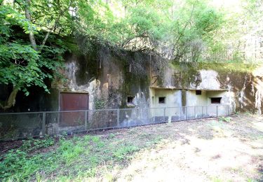
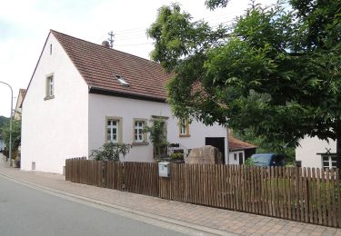
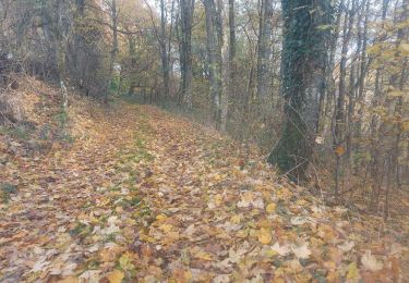
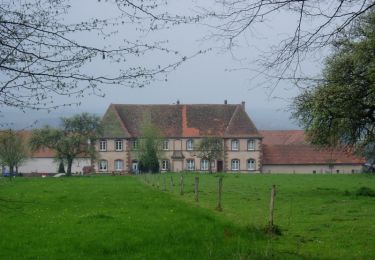
Circuit non balisé, mais facile à suivre. Départ du parking devant l’église de Bousseviller. Traverser le Hornbach. Tourner à droite dans la rue du Moulin. Voir l’oratoire à gauche. 100m après l’oratoire, monter à gauche sur le chemin qui monte sur le Schwarzenberg. Le chemin longe la vallée du Hornbach jusqu’au Sud de Hanviller ; puis le chemin prend la direction Est vers la chapelle Saint Wendelin où on peut prendre un peu de repos. Continuer maintenant sur le flanc Est du Schwarzenberg en longeant cette fois la vallée du Schwarzbach jusqu’à Eberbach, un écart de Liederschiedt. Après un Speckfest organisé chez Dieter, nous avons continué vers Bousseviller en contournant le Schwarzenberg tout en restant dans la vallée du Hornbach.


Marche
A pied
A pied

A pied
A pied
A pied
Marche
A pied