


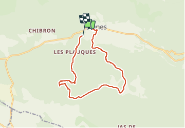

14,2 km | 18,3 km-effort

Utilisateur


Application GPS de randonnée GRATUITE
 SityTrail
IGN / Instituts géographiques
SityTrail World
Le monde est à vous
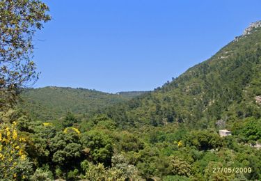
Randonnée Marche de 14,9 km à découvrir à Provence-Alpes-Côte d'Azur, Var, Signes. Cette randonnée est proposée par marchev.
Manque début de la randonnée
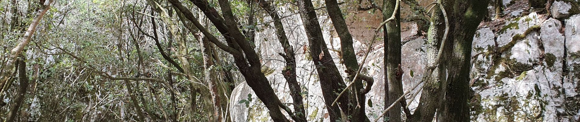
jolie randonnée surtout après le vallon des croupatières 588 à 709 m.


Marche
V.T.T.
Marche

Marche

V.T.T.

Marche
Marche
Marche
Marche