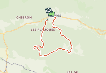
14.2 km | 18.3 km-effort
signes les amaris
marchev
User
Length
14.9 km
Max alt
746 m
Uphill gradient
522 m
Km-Effort
22 km
Min alt
329 m
Downhill gradient
560 m
Boucle
No
Creation date :
2022-04-06 08:09:47.775
Updated on :
2022-04-08 05:05:58.701
6h21
Difficulty : Medium
FREE GPS app for hiking
About
Trail Walking of 14.9 km to be discovered at Provence-Alpes-Côte d'Azur, Var, Signes. This trail is proposed by marchev.
Description
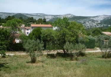
Manque début de la randonnée
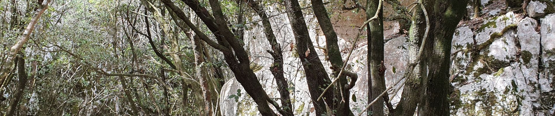
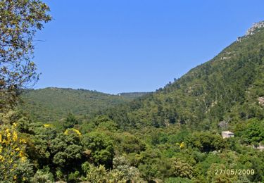
jolie randonnée surtout après le vallon des croupatières 588 à 709 m.
Positioning
Country:
France
Region :
Provence-Alpes-Côte d'Azur
Department/Province :
Var
Municipality :
Signes
Location:
Unknown
Start:(Dec)
Start:(UTM)
731604 ; 4796573 (31T) N.
Comments
Trails nearby
De Chibron à Riboux et au Grand Vallon, sur le versant sud de la Sainte Baume
Mountain bike
Medium
(1)
Signes,
Provence-Alpes-Côte d'Azur,
Var,
France
30 km | 39 km-effort
3h 0min
Yes
Signes - Vallon du Raby
Walking
Medium
(2)
Signes,
Provence-Alpes-Côte d'Azur,
Var,
France
8.3 km | 12.9 km-effort
2h 30min
Yes
grotte du mounoi signes
Walking
Medium
(1)
Signes,
Provence-Alpes-Côte d'Azur,
Var,
France
17 km | 21 km-effort
4h 45min
Yes
Le Mourré d'Agnis, itinéraire bis
Mountain bike
Very difficult
(1)
Signes,
Provence-Alpes-Côte d'Azur,
Var,
France
43 km | 62 km-effort
5h 0min
Yes
Signes Col des Glacières Ste Baume
Walking
Very difficult
(1)
Signes,
Provence-Alpes-Côte d'Azur,
Var,
France
16.4 km | 27 km-effort
6h 12min
Yes
Vallon des Martyrs Signes
Walking
Difficult
Signes,
Provence-Alpes-Côte d'Azur,
Var,
France
14.9 km | 18.3 km-effort
4h 9min
Yes
Montée vers le plateau de la Limatte en partant de Signes
Walking
Very difficult
Signes,
Provence-Alpes-Côte d'Azur,
Var,
France
17.3 km | 24 km-effort
6h 19min
Yes
Mourre d'Agnis en partant de Signes
Walking
Very difficult
Signes,
Provence-Alpes-Côte d'Azur,
Var,
France
16.4 km | 25 km-effort
5h 26min
Yes