Randonnée A pied Botsorhel - Botshorel Morlaix - Photo
 chessyca
chessyca

Utilisateur

© OpenStreetMap contributors
Longueur
Longueur
29 km
Altitude max
Altitude max
218 m
Dénivelé positif
Dénivelé positif
405 m
Km-Effort
Km-Effort  
35 km
Altitude min
Altitude min
8 m
Dénivelé négatif
Dénivelé négatif
600 m
Boucle
Boucle
Non
Date de création :
2022-04-08 06:49:18.165
Dernière modification :
2022-04-10 19:56:45.419

(0 Avis)

A pied
A pied
8h03
Difficulté : Difficile

Scannez ce code QR pour ouvrir la randonnée dans l'application SityTrail

Application GPS de randonnée GRATUITE

Logo SityTrail SityTrail

IGN / Instituts géographiques

Télécharger SityTrail sur l'App Store Télécharger SityTrail sur Google Play

Logo SityTrail SityTrail World

Le monde est à vous

Télécharger SityTrail sur l'App Store Télécharger SityTrail sur Google Play Télécharger SityTrail sur Huawei AppGallery

À propos

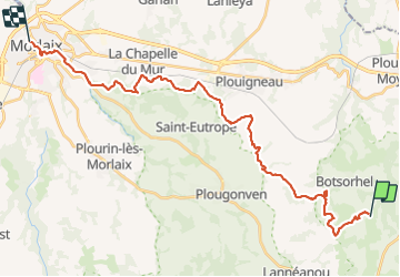
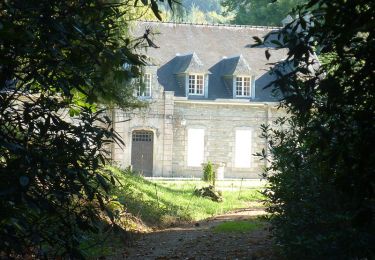
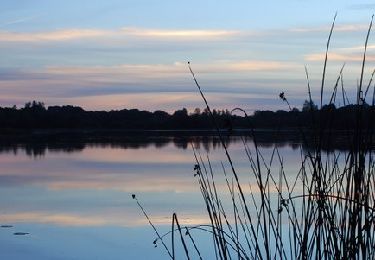
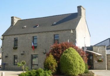
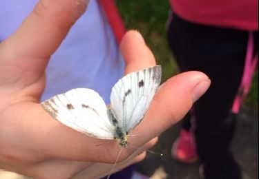
Randonnée A pied de 29 km à découvrir à Bretagne, Finistère, Botsorhel. Cette randonnée est proposée par chessyca.

Description

Dernier jour du trek Bretagne - Lannion Morlaix par les terre

Profil altimétrique

Localisation

Pays :
France
Région :
Bretagne
Département/Province :
Finistère
Commune :
Botsorhel
Localité :
Unknown
Départ:(UTM)
453739 ; 5373433 (30U) N.

Randonnées à proximité

Randonnée Marche Plougras - Autour de Plougras, abord de Guerlesquin - Photo
Marche
ollivier.albert

Marche

Facile
Plougras, Bretagne, Côtes-d'Armor, France
8,7 km | 10,4 km-effort
2h 5min
Oui
Randonnée A pied Guerlesquin - L'Étang du Guic - Photo
A pied
PRO

A pied

Moyen
Guerlesquin, Bretagne, Finistère, France
15,9 km | 20 km-effort
4h 33min
Oui
Randonnée Marche Lannéanou - Tour de Lannéanou - Photo
Marche
tracegps

Marche

Difficile
Lannéanou, Bretagne, Finistère, France
14,8 km | 18,8 km-effort
3h 40min
Oui
Randonnée Marche Botsorhel - Sentiers buissonniers à Botsorhel - Photo
Marche
tracegps

Marche

Difficile
(1)
Botsorhel, Bretagne, Finistère, France
14,2 km | 18,5 km-effort
4h 30min
Oui
Randonnée Marche Plougras - Eoliennes et étang de Beffou - Plougras - Photo
Marche
tracegps

Marche

Moyen
Plougras, Bretagne, Côtes-d'Armor, France
9,3 km | 11 km-effort
2h 19min
Oui
Randonnée Marche Plougras - Tro ar Guic - Plougras - Photo
Marche
tracegps

Marche

Moyen
(1)
Plougras, Bretagne, Côtes-d'Armor, France
8,1 km | 9,7 km-effort
2h 0min
Oui
Randonnée Marche Botsorhel - 29_Botsorhel - Photo
Marche
jab31

Marche

Moyen
Botsorhel, Bretagne, Finistère, France
14,3 km | 18,6 km-effort
3h 22min
Oui
Randonnée A pied Botsorhel - Etape 5 botsorhelx- morlaix - Photo
A pied
chessyca

A pied

Difficile
Botsorhel, Bretagne, Finistère, France
30 km | 36 km-effort
8h 10min
Non
Randonnée Marche Plouigneau - bourouguel broheon la boissiere etc... - Photo
Marche
mumusa29

Marche

Très facile
Plouigneau, Bretagne, Finistère, France
5,7 km | 6,8 km-effort
1h 51min
Oui


Fermer
Mes abonnements