


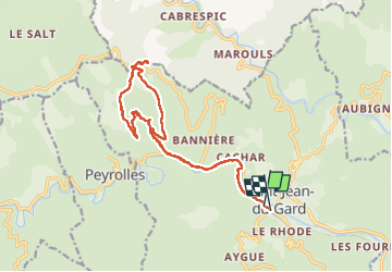

8,8 km | 12,2 km-effort

Utilisateur GUIDE


Application GPS de randonnée GRATUITE
 SityTrail
IGN / Instituts géographiques
SityTrail World
Le monde est à vous
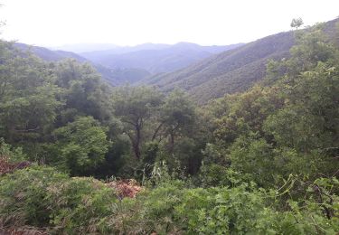
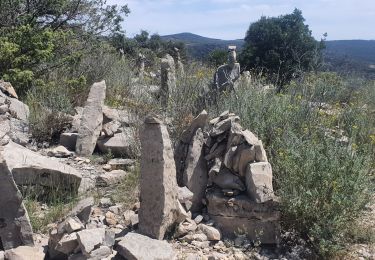
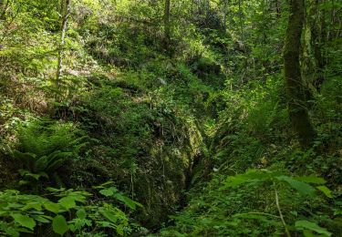
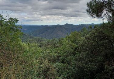
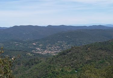
Randonnée Marche de 17,7 km à découvrir à Occitanie, Gard, Saint-Jean-du-Gard. Cette randonnée est proposée par nadinebondoux.
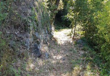
se garer parking de la gare à St Jean du Gard


Marche
Marche

Marche
Marche
Marche
Marche
Marche
Marche