


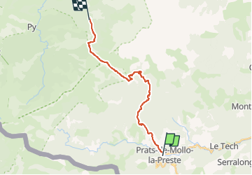

14,5 km | 24 km-effort


Utilisateur


Application GPS de randonnée GRATUITE
 SityTrail
IGN / Instituts géographiques
SityTrail World
Le monde est à vous
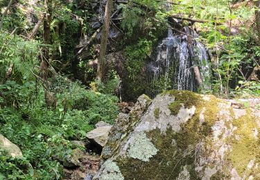
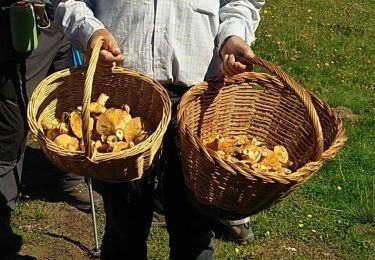
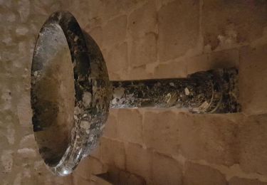
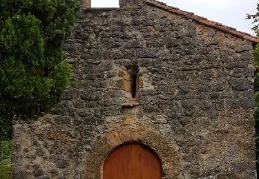
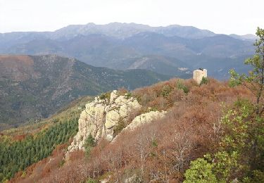
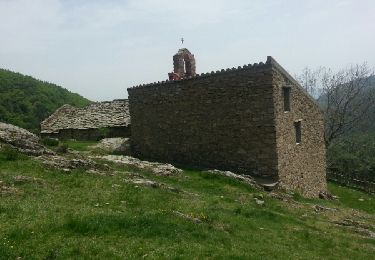
Randonnée A pied de 19,4 km à découvrir à Occitanie, Pyrénées-Orientales, Prats-de-Mollo-la-Preste. Cette randonnée est proposée par Marcolecomte.
Marche
Marche
Marche
Marche
Marche
Marche
Marche
Marche