


Saint-Laurent-en-Gâtines - Circuit jaune avec variante le Sentier - 18.7km 120m 4h30 - 2022 05 01

Orcal37
Utilisateur GUIDE
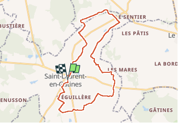

Longueur
18,7 km

Altitude max
169 m

Dénivelé positif
118 m
Km-Effort
20 km

Altitude min
142 m

Dénivelé négatif
118 m
Boucle
Oui
Date de création :
2022-05-01 09:46:09.431
Dernière modification :
2022-05-01 18:42:49.502
4h30
Difficulté : Facile

Application GPS de randonnée GRATUITE
 SityTrail
IGN / Instituts géographiques
SityTrail Plus
Le monde est à vous
À propos
Randonnée Marche de 18,7 km à découvrir à Centre-Val de Loire, Indre-et-Loire, Saint-Laurent-en-Gâtines. Cette randonnée est proposée par Orcal37.
Description
Saint-Laurent-en-Gâtines - Circuit jaune avec variante le Sentier - 18.7km 120m 4h30 - 2022 05 01
Photos


Localisation
Pays :
France
Région :
Centre-Val de Loire
Département/Province :
Indre-et-Loire
Commune :
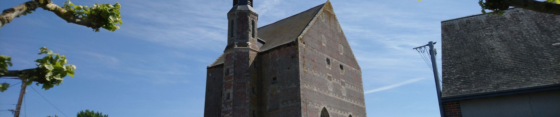
Saint-Laurent-en-Gâtines
Localité :
Unknown
Départ:(Dec)
Départ:(UTM)
332922 ; 5272678 (31T) N.
Commentaires