


Berthenay - Sentier des deux Eaux - 16.3km 65m 4h00 - 2022 05 08

Orcal37
Utilisateur GUIDE
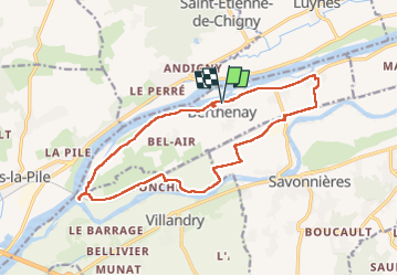

Longueur
16,3 km

Altitude max
50 m

Dénivelé positif
66 m
Km-Effort
17,2 km

Altitude min
39 m

Dénivelé négatif
65 m
Boucle
Oui
Date de création :
2022-05-08 12:41:14.084
Dernière modification :
2022-05-09 17:16:26.119
4h00
Difficulté : Facile

Application GPS de randonnée GRATUITE
 SityTrail
IGN / Instituts géographiques
SityTrail Plus
Le monde est à vous
À propos
Randonnée Marche de 16,3 km à découvrir à Centre-Val de Loire, Indre-et-Loire, Berthenay. Cette randonnée est proposée par Orcal37.
Description
Berthenay - Sentier des deux Eaux - 16.3km 65m 4h00 - 2022 05 08
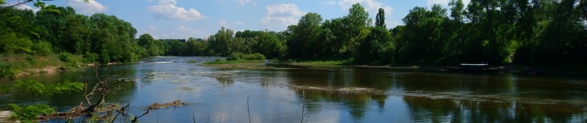
Photos


Localisation
Pays :
France
Région :
Centre-Val de Loire
Département/Province :
Indre-et-Loire
Commune :
Berthenay
Localité :
Unknown
Départ:(Dec)
Départ:(UTM)
313160 ; 5248573 (31T) N.
Commentaires