


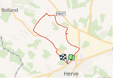


7,7 km | 10,1 km-effort

Utilisateur GUIDE


Application GPS de randonnée GRATUITE
 SityTrail
IGN / Instituts géographiques
SityTrail World
Le monde est à vous
Randonnée Marche de 6,2 km à découvrir à Wallonie, Liège, Herve. Cette randonnée est proposée par pierreh01.
Vendredi 3 juin 2022 : Balade en couple
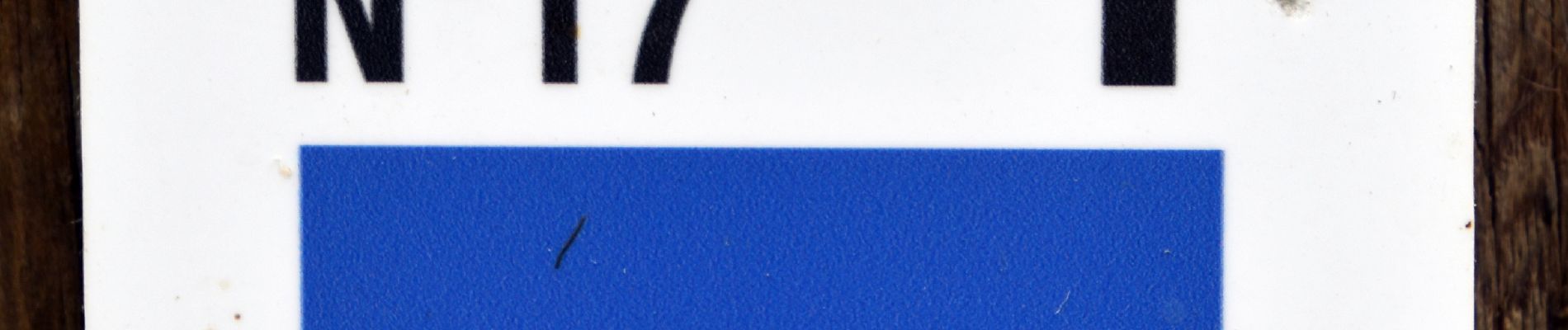
Circuit balisé (balade No 17 de HERVE - De la ligne 38 au vieux couvent) en boucle au départ de la Maison du Tourisme du Pays de Herve.
Balade sans réelle difficulté si ce n'est quelques dénivelés à aborder à son rythme, surtout dans la prairie au pied du ruisseau le Bolland à traverser (heureusement sans problème par cette sécheresse, à hésiter en cas de fortes pluies).
Longueur annoncée de 5,6 Km, mesurée avec SityTrail à 6,1 Km.


45 photos au total. Cliquez sur une photo pour les afficher toutes dans la galerie.

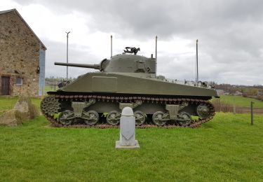
Marche
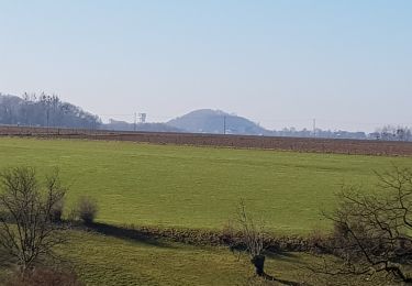
Marche
Marche

Marche

Marche
Marche

Marche
Marche
Marche