Randonnée Avion Dierre - nav1 - Photo
 etmerde
etmerde

Utilisateur

© OpenStreetMap contributors
Longueur
Longueur
154 km
Altitude max
Altitude max
162 m
Dénivelé positif
Dénivelé positif
1385 m
Km-Effort
Km-Effort  
173 km
Altitude min
Altitude min
47 m
Dénivelé négatif
Dénivelé négatif
1381 m
Boucle
Boucle
Non
Date de création :
2022-06-05 13:42:18.158
Dernière modification :
2022-06-05 15:53:47.012

(0 Avis)

Avion
Avion
1h12
Difficulté : Moyen

Scannez ce code QR pour ouvrir la randonnée dans l'application SityTrail

Application GPS de randonnée GRATUITE

Logo SityTrail SityTrail

IGN / Instituts géographiques

Télécharger SityTrail sur l'App Store Télécharger SityTrail sur Google Play

Logo SityTrail SityTrail World

Le monde est à vous

Télécharger SityTrail sur l'App Store Télécharger SityTrail sur Google Play Télécharger SityTrail sur Huawei AppGallery

À propos

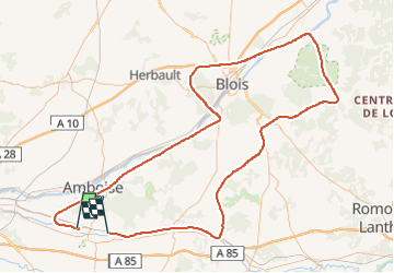
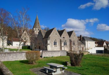
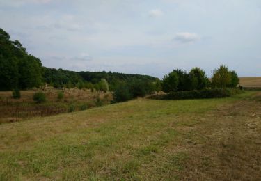
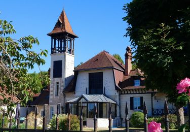
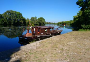
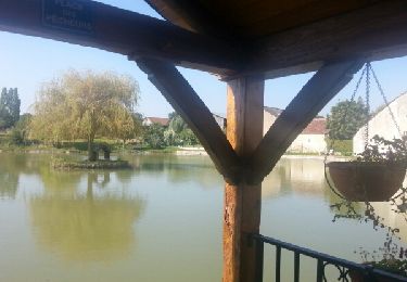
Randonnée Avion de 154 km à découvrir à Centre-Val de Loire, Indre-et-Loire, Dierre. Cette randonnée est proposée par etmerde.

Profil altimétrique

Localisation

Pays :
France
Région :
Centre-Val de Loire
Département/Province :
Indre-et-Loire
Commune :
Dierre
Localité :
Unknown
Départ:(UTM)
344647 ; 5245139 (31T) N.

Randonnées à proximité

Randonnée Marche Saint-Martin-le-Beau - Saint-Martin-le-Beau - PR Entre Vignes et Forêts - 11.8km 120m 2h45 (45mn) - 2023 10 07 - Photo
Marche
Orcal37

Marche

Moyen
Saint-Martin-le-Beau, Centre-Val de Loire, Indre-et-Loire, France
11,8 km | 13,4 km-effort
2h 45min
Oui
Randonnée Marche Saint-Martin-le-Beau - Saint-Martin-le-Beau - Nitray GR41 Azay-sur-Cher - 23.2km 185m 5h15 (40mn) - 2023 10 04 - Photo
Marche
Orcal37

Marche

Facile
Saint-Martin-le-Beau, Centre-Val de Loire, Indre-et-Loire, France
23 km | 26 km-effort
5h 15min
Oui
Randonnée Marche La Croix-en-Touraine - la Croix-en-Touraine - 16.4km 150m 3h50 (30mn) - 2023 07 08 - Photo
Marche
Orcal37

Marche

Difficile
La Croix-en-Touraine, Centre-Val de Loire, Indre-et-Loire, France
16,4 km | 18,5 km-effort
4h 11min
Oui
Randonnée Marche Dierre - Dierre - St-Martin-le-Beau - 15.9km 230m 3h35 - 2023 02 26 - Photo
Marche
Orcal37

Marche

Facile
Dierre, Centre-Val de Loire, Indre-et-Loire, France
15,9 km | 19 km-effort
3h 35min
Oui
Randonnée Marche Bléré - Bléré - Fonds de Bout Ferré - 14.2km 145m 3h30 - 2022 08 15 - Photo
Marche
Orcal37

Marche

Facile
Bléré, Centre-Val de Loire, Indre-et-Loire, France
14,2 km | 16,2 km-effort
3h 30min
Oui
Randonnée Marche Bléré - Bléré - Fontenay - 15.9km 145m 3h45 - 2022 07 31 - Photo
Marche
Orcal37

Marche

Facile
Bléré, Centre-Val de Loire, Indre-et-Loire, France
15,9 km | 17,8 km-effort
3h 45min
Oui
Randonnée Marche Athée-sur-Cher - Athée-sur-Cher - Port Chandon - 18km 140m 4h05 - 2022 07 24 - Photo
Marche
Orcal37

Marche

Facile
Athée-sur-Cher, Centre-Val de Loire, Indre-et-Loire, France
18 km | 19,8 km-effort
4h 5min
Oui
Randonnée Marche Saint-Martin-le-Beau - st martin le beau - Photo
Marche
fustier

Marche

Très facile
Saint-Martin-le-Beau, Centre-Val de Loire, Indre-et-Loire, France
25 km | 29 km-effort
5h 54min
Non
Randonnée Marche Athée-sur-Cher - Athée sur Cher - Photo
Marche
danaubrac

Marche

Facile
(1)
Athée-sur-Cher, Centre-Val de Loire, Indre-et-Loire, France
21 km | 23 km-effort
4h 15min
Oui


Fermer
Mes abonnements