


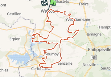

21 km | 26 km-effort


Utilisateur GUIDE


Application GPS de randonnée GRATUITE
 SityTrail
IGN / Instituts géographiques
SityTrail World
Le monde est à vous
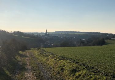
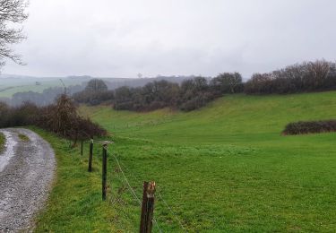
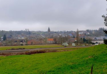
Randonnée V.T.T. de 48 km à découvrir à Wallonie, Namur, Walcourt. Cette randonnée est proposée par pascalou73.
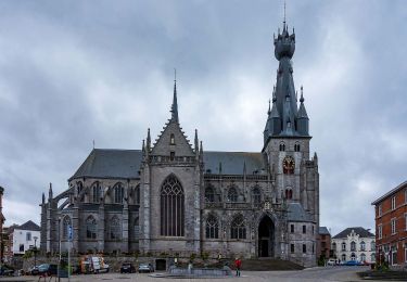
Voilà une belle randonnée VTT au départ du village de Walcourt pour aller chez le fils de sentie et le point de vue sur la région et les barrages au village de Cerfontaine .


Marche

Marche

Marche
Marche
Marche
Marche
Marche
Marche
Marche