


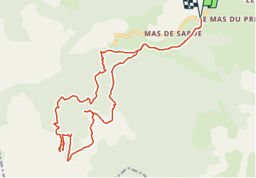

13,5 km | 15,6 km-effort


Utilisateur


Application GPS de randonnée GRATUITE
 SityTrail
IGN / Instituts géographiques
SityTrail World
Le monde est à vous
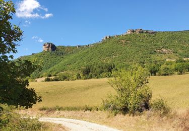
Randonnée Marche de 13,9 km à découvrir à Occitanie, Aveyron, Nant. Cette randonnée est proposée par coulombf.
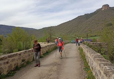
3/10/2019 groupe marche SV
16/06/2022 groupe marche FC
14/09/2023 groupe marche FC
La Randonnée Cévenole (maj 23/09/2021)

Marche
Marche
Marche nordique


Course à pied