Randonnée Marche Nant - Nant Cantobre Nant - Photo

Nant Cantobre Nant

 jeff2
jeff2

Utilisateur

© OpenStreetMap contributors
Longueur
Longueur
15,3 km
Altitude max
Altitude max
863 m
Dénivelé positif
Dénivelé positif
605 m
Km-Effort
Km-Effort  
23 km
Altitude min
Altitude min
453 m
Dénivelé négatif
Dénivelé négatif
593 m
Boucle
Boucle
Oui
Date de création :
2023-04-28 07:25:57.504
Dernière modification :
2023-04-28 15:23:52.35

(0 Avis)

Marche
Marche
7h01
Difficulté : Moyen

Scannez ce code QR pour ouvrir la randonnée dans l'application SityTrail

Application GPS de randonnée GRATUITE

Logo SityTrail SityTrail

IGN / Instituts géographiques

Télécharger SityTrail sur l'App Store Télécharger SityTrail sur Google Play

Logo SityTrail SityTrail World

Le monde est à vous

Télécharger SityTrail sur l'App Store Télécharger SityTrail sur Google Play Télécharger SityTrail sur Huawei AppGallery

À propos

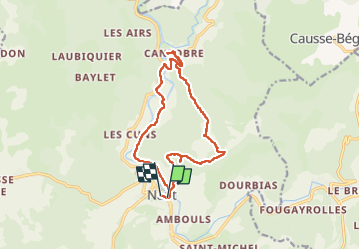
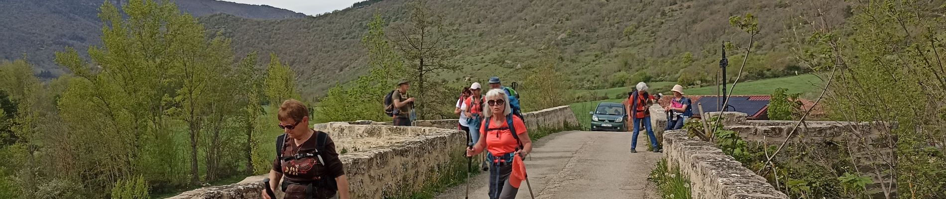
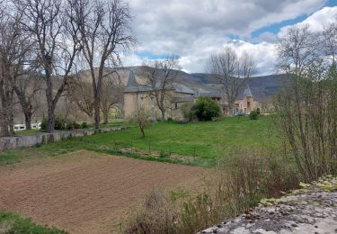
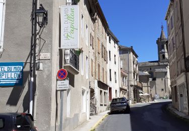
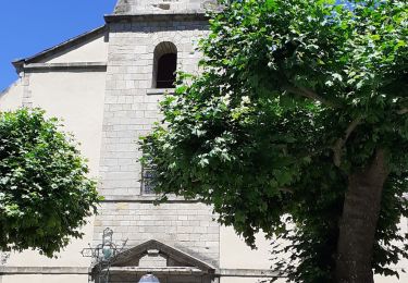
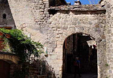
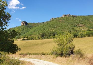
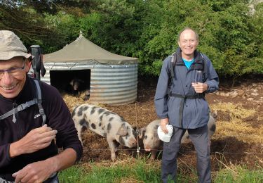
Randonnée Marche de 15,3 km à découvrir à Occitanie, Aveyron, Nant. Cette randonnée est proposée par jeff2.

Description

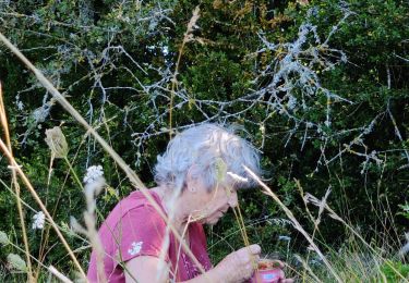
Belle montée à la fraîche, vue exceptionnelle, et descente sur Cantobre, déjeuner sur la place du village.
Retour tranquille.

Profil altimétrique

Photos

31 photos au total. Cliquez sur une photo pour les afficher toutes dans la galerie.

Localisation

Pays :
France
Région :
Occitanie
Département/Province :
Aveyron
Commune :
Nant
Localité :
Unknown
Départ:(UTM)
524308 ; 4874363 (31T) N.

Randonnées à proximité

Randonnée Marche Saint-Jean-du-Bruel - Le roc nantais - Photo
Marche
labarone

Marche

Moyen
Saint-Jean-du-Bruel, Occitanie, Aveyron, France
22 km | 32 km-effort
7h 7min
Oui
Randonnée Marche Saint-Jean-du-Bruel - ST JEAN DE BRUEL CAUSSES BEGON - Photo
Marche
Georgesferrier

Marche

Moyen
Saint-Jean-du-Bruel, Occitanie, Aveyron, France
13,9 km | 20 km-effort
4h 32min
Oui
Randonnée Marche Saint-Jean-du-Bruel - ST JEAN DE BRUEL CHATEAU D ALGUE  - Photo
Marche
Georgesferrier

Marche

Moyen
Saint-Jean-du-Bruel, Occitanie, Aveyron, France
10,3 km | 15,1 km-effort
3h 28min
Oui
Randonnée Marche La Roque-Sainte-Marguerite - Montredon - Photo
Marche
nolsim

Marche

Facile
(1)
La Roque-Sainte-Marguerite, Occitanie, Aveyron, France
9,6 km | 11,5 km-effort
2h 13min
Oui
Randonnée Marche Nant - Cantobre 31-08-21 - Photo
Marche
nolsim

Marche

Moyen
Nant, Occitanie, Aveyron, France
15,5 km | 23 km-effort
4h 14min
Oui
Randonnée Marche Nant - Roc des Nantais - Photo
Marche
viam19

Marche

Moyen
Nant, Occitanie, Aveyron, France
9,3 km | 15,6 km-effort
4h 18min
Non
Randonnée Marche Nant - de nant à cantobre - Photo
Marche
labarone

Marche

Moyen
Nant, Occitanie, Aveyron, France
21 km | 32 km-effort
7h 31min
Oui
Randonnée Marche La Roque-Sainte-Marguerite - Montredon Salvage - Photo
Marche
janussity

Marche

Très facile
La Roque-Sainte-Marguerite, Occitanie, Aveyron, France
19,9 km | 26 km-effort
8h 25min
Non
Randonnée Course à pied Nant - Trail hopitalier 2016 - Photo
Course à pied
aldeu

Course à pied

Très facile
(2)
Nant, Occitanie, Aveyron, France
29 km | 45 km-effort
Inconnu
Oui


Fermer
Mes abonnements