


30 km | 46 km-effort


Utilisateur


Application GPS de randonnée GRATUITE
 SityTrail
IGN / Instituts géographiques
SityTrail World
Le monde est à vous
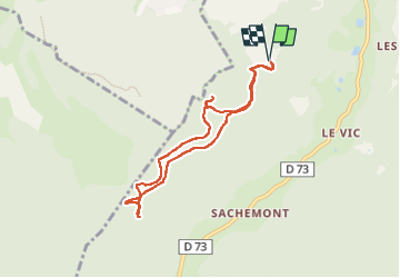
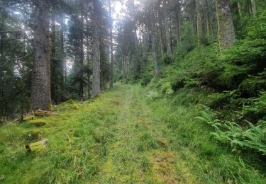
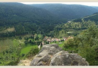
Randonnée Marche de 7,1 km à découvrir à Grand Est, Vosges, Ban-sur-Meurthe-Clefcy. Cette randonnée est proposée par surceneux.
CIRCUIT AUTOUR DE BOSLIMPRE (TRIANGLE VERT) PRE AGATHE LA MAXERELLE...
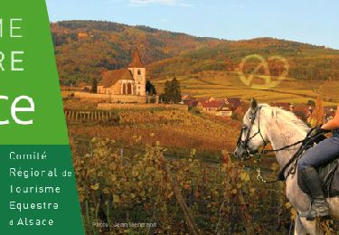
Randonnée équestre
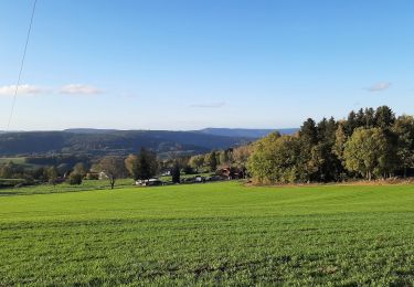
Marche
Marche

Randonnée équestre
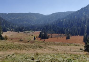
Marche

Randonnée équestre
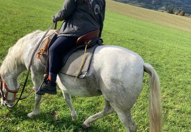
Randonnée équestre