


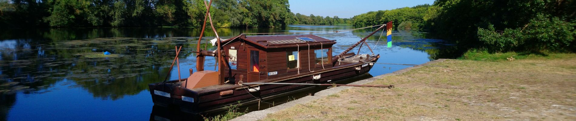
Athée-sur-Cher - Port Chandon - 18km 140m 4h05 - 2022 07 24

Orcal37
Utilisateur GUIDE
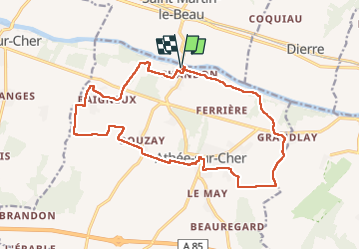

Longueur
18 km

Altitude max
98 m

Dénivelé positif
140 m
Km-Effort
19,8 km

Altitude min
50 m

Dénivelé négatif
141 m
Boucle
Oui
Date de création :
2022-07-24 12:05:47.137
Dernière modification :
2022-09-08 17:32:45.76
4h05
Difficulté : Facile

Application GPS de randonnée GRATUITE
 SityTrail
IGN / Instituts géographiques
SityTrail Plus
Le monde est à vous
À propos
Randonnée Marche de 18 km à découvrir à Centre-Val de Loire, Indre-et-Loire, Athée-sur-Cher. Cette randonnée est proposée par Orcal37.
Description
Athée-sur-Cher - Port Chandon - 18km 140m 4h05 - 2022 07 24
Photos


Localisation
Pays :
France
Région :
Centre-Val de Loire
Département/Province :
Indre-et-Loire
Commune :
Athée-sur-Cher
Localité :
Unknown
Départ:(Dec)
Départ:(UTM)
342056 ; 5245273 (31T) N.
Commentaires