


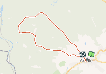


13,9 km | 17,6 km-effort
Randonnées de la Grande Forêt de Saint-Hubert GUIDE+


Application GPS de randonnée GRATUITE
 SityTrail
IGN / Instituts géographiques
SityTrail World
Le monde est à vous
Randonnée Marche de 7,8 km à découvrir à Wallonie, Luxembourg, Saint-Hubert. Cette randonnée est proposée par La Grande Forêt de Saint-Hubert.
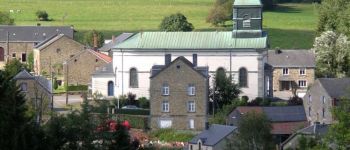
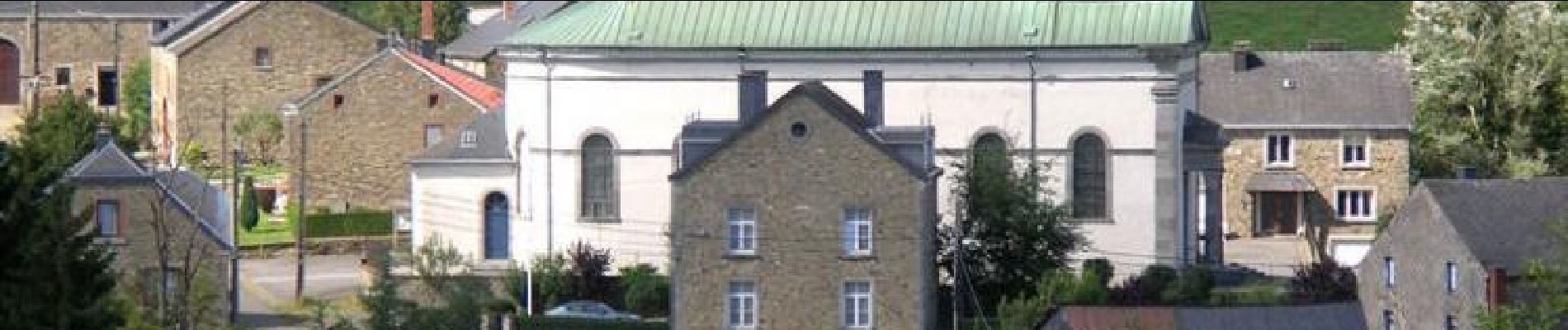
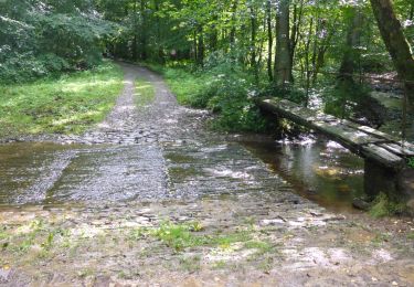
Cette promenade dans les bois de Saint-Hubert, au-dessus du village d'Arville, vous emmènera jusqu'à la chapelle de Chèni du Mont.
Extrait de la carte de promenade « Au Pays de Saint-Hubert » (30 balades pédestres, 6 circuits VTT – carte topographique 1/25.000) disponible au Royal Syndicat d’Initiative de Saint-Hubert au prix de 8€.
Royal Syndicat d’Initiative de Saint-Hubert
Place du Marché, n°15
B-6870 SAINT-HUBERT
Tél.: 32 (0)61 61 30 10
Fax: 32 (0)61 61 54 44
rsi@saint-hubert-tourisme.be
www.rsi-sainthubert.be
facebook.com/rsisainthubert
 - Photo 1")

Marche

Marche

Marche

Marche

Marche

Marche

Marche
Marche
Marche