


13,9 km | 17,6 km-effort
Saint-Hubert : découvrez les meilleures randonnées : 638 pédestres, 63 à vélo ou VTT et 33 parcours équestres. Tous ces circuits, parcours, itinéraires et activités en plein air sont disponibles dans nos applications SityTrail pour smartphones et tablettes.
Marche


• Extrait de la carte de promenade « Au Pays de Saint-Hubert » (30 balades pédestres, 6 circuits VTT – carte topographi...
Marche
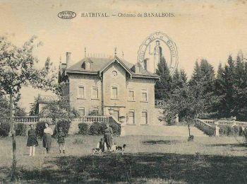
• Promenade essentiellement en forêt. Découverte du village d'Hatrival et, comme son nom l'indique, du domaine de Banal...
Marche
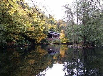
• RB-Lu-26 - Raccourci - Sur les pas d’Albert Ier en forêt domaniale de Saint-Hubert.
Marche
• 9. Balade permettant de découvrir le village de Vesqueville, mais aussi et surtout ses bois. Les milieux naturels ren...

Marche
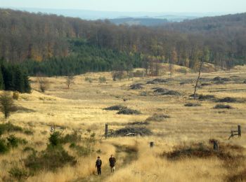
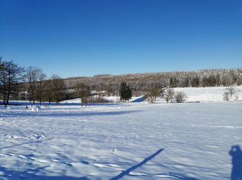
• Cette promenade vous propose de découvrir les fagnes et ses paysages particuliers. Au milieu des bois composés princi...
Marche
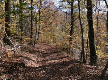
• Sur un parcours de 2 heures, un condensé des plus belles caractéristiques de la forêt de Saint-Hubert. Avec une vue e...
Marche
• Très belle promenade, riche en différents biotopes et flores diverses. Intérêt paysager sur les hauteurs avec belle v...
Marche
• C'est la plus longue des quatre promenades du Domaine provincial de Mirwart. Elle permet de découvrir les richesses f...
Marche
• Très belle marche de 10km00 presque entièrement boisée. Très bon balisage. Bravo au cdj de Arville pour l'organisation.
Marche
• Très beau parcours de 10km700. Très bon fléchage.

Marche
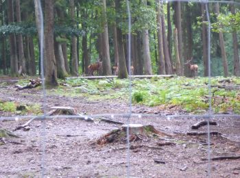
• Point de départ : le parc à gibier : 130, rue Saint-Michel – 6870 Saint-Hubert. Coordonnées GPS : 50° 02' 05.4" N ; ...
Marche
• Point de départ : le parc à gibier : 130, rue Saint-Michel – 6870 Saint-Hubert. Coordonnées GPS : 50° 02' 05.4" N ; ...

V.T.T.
• Extrait de la carte de promenade « Au Pays de Saint-Hubert » (30 balades pédestres, 6 circuits VTT – carte topographi...
Marche
• C'est une des quatre promenades du Domaine provincial de Mirwart. Elle débute en contournant les bâtiments de la pisc...
Marche
• Cette promenade serpente au travers d’un grand massif forestier, à l’ombre d’une hêtraie à luzule blanche, habitat na...
Marche
• Au départ de la Maison N-Dame ... agréable randonnée forestière par la campagne des " Champs Hallet " et la forêt de ...
Marche
• Très belle randonnée forestière par le lieu dit " Tier à Bruyère " dans le " Bois St-Hubert " jusqu'à la chapelle Not...
Marche
• Très belle balade
Marche
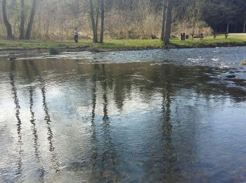
• Départ en bas du village de Mirwart en longeant l'eau Soudain, une petite grimpette ... hi hi hi Par la suite ça cont...
Marche
• Par le "Rau de Rabani" vers l'observatoire de Bialaude et retour par le chemin du Fond des Grippes, la rive droite de...
20 randonnées affichées sur 770
Application GPS de randonnée GRATUITE
 SityTrail
IGN / Instituts géographiques
SityTrail World
Le monde est à vous