


Saint-Règle - L'Amasse - 16.3km 185m 3h45 - 2022 08 20

Orcal37
Utilisateur GUIDE


Longueur
16,3 km

Altitude max
114 m

Dénivelé positif
187 m
Km-Effort
18,8 km

Altitude min
63 m

Dénivelé négatif
189 m
Boucle
Oui
Date de création :
2022-08-20 12:29:04.4
Dernière modification :
2022-09-13 16:54:40.063
3h45
Difficulté : Facile

Application GPS de randonnée GRATUITE
 SityTrail
IGN / Instituts géographiques
SityTrail Plus
Le monde est à vous
À propos
Randonnée Marche de 16,3 km à découvrir à Centre-Val de Loire, Indre-et-Loire, Saint-Règle. Cette randonnée est proposée par Orcal37.
Description
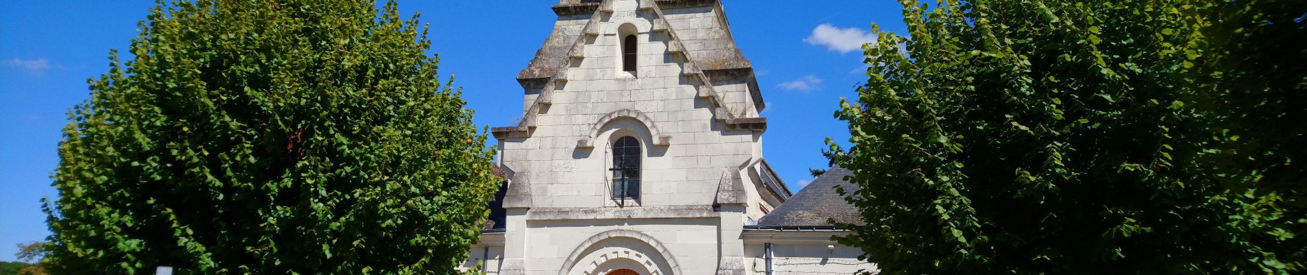
Saint-Règle - GR655est Château du Clos Lucé L'Amasse - 16.3km 185m 3h45 - 2022 08 20
Photos


Localisation
Pays :
France
Région :
Centre-Val de Loire
Département/Province :
Indre-et-Loire
Commune :
Saint-Règle
Localité :
Unknown
Départ:(Dec)
Départ:(UTM)
353182 ; 5252440 (31T) N.
Commentaires