


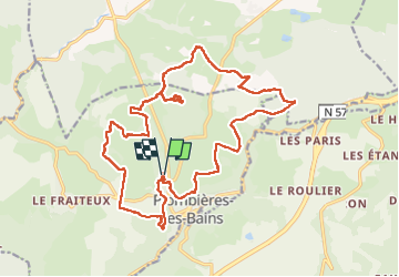

7,9 km | 10,2 km-effort

Utilisateur


Application GPS de randonnée GRATUITE
 SityTrail
IGN / Instituts géographiques
SityTrail World
Le monde est à vous
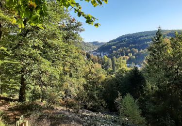
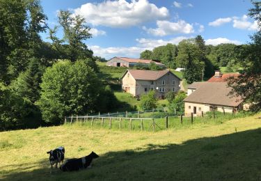
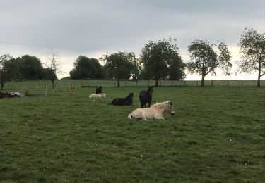
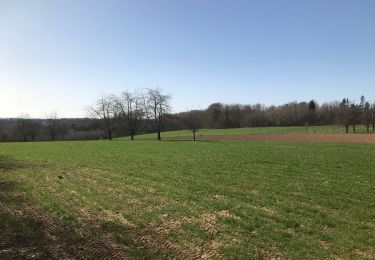
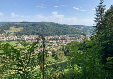
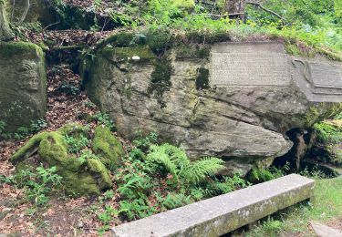
Randonnée Marche de 22 km à découvrir à Grand Est, Vosges, Plombières-les-Bains. Cette randonnée est proposée par lacote.

Marche
V.T.T.
Marche nordique
Randonnée équestre
Marche
Randonnée équestre

Marche
Marche
Marche