


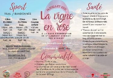
10,9 km | 16,5 km-effort


Utilisateur


Application GPS de randonnée GRATUITE
 SityTrail
IGN / Instituts géographiques
SityTrail World
Le monde est à vous
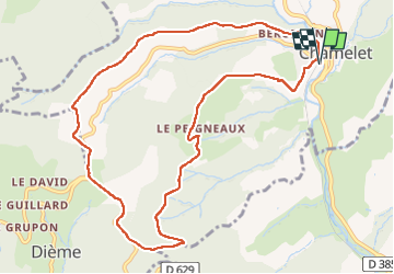
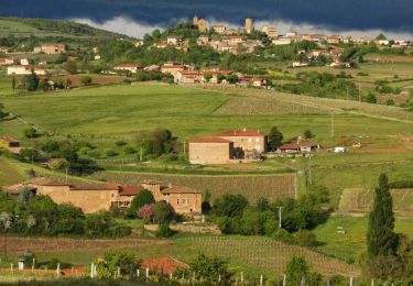
Randonnée Marche de 10,9 km à découvrir à Auvergne-Rhône-Alpes, Rhône, Chamelet. Cette randonnée est proposée par fernand1254.
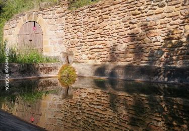
Départ du parking de la gare
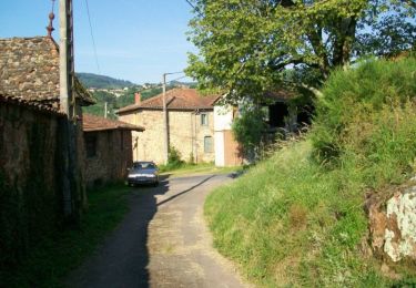
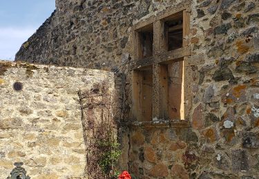
Belle rando sympa.
Marche
Marche

Marche
Marche
Marche
Marche
Marche

Marche
Marche