


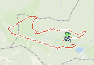

8,1 km | 12,3 km-effort

Utilisateur


Application GPS de randonnée GRATUITE
 SityTrail
IGN / Instituts géographiques
SityTrail World
Le monde est à vous
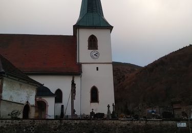
Randonnée Marche de 6,6 km à découvrir à Grand Est, Haut-Rhin, Kirchberg. Cette randonnée est proposée par helmut68.
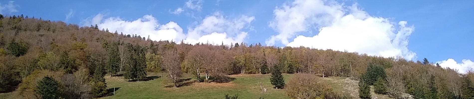
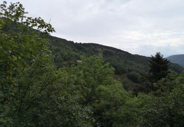
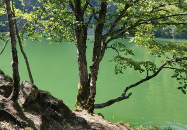
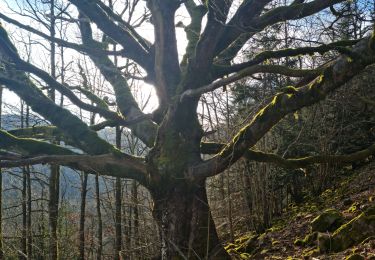
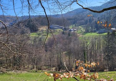
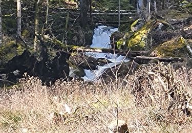
• Se garer au parking du Lachtelweiher puis prendre le chemin forestier du Lochberg . Avant d’arriver à la ferme, prendre le chemin " balisage " anneau bleu " qui monte sur la droite. Après environ 100 m prendre le chemin non balisé sur votre gauche ( portillon ) .Après une montée assez raide d' environ 80 m vous trouverez l'abri " Sommerseite " Pour le retour profitez de la belle vue sur toute la vallée de la Doller ( sur la crête ) puis suivre le Balisage " triangle bleu " jusqu'à la source de la Doller , puis le balisage du GR 531 - rectangle bleu jusqu' au parking du Lachtelweiher .
Alors à vos chaussures !


Marche
Marche
Marche

Marche

Marche
Marche
Marche
Marche
Marche