


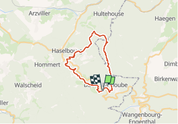

21 km | 32 km-effort

Utilisateur GUIDE


Application GPS de randonnée GRATUITE
 SityTrail
IGN / Instituts géographiques
SityTrail World
Le monde est à vous
Randonnée Marche de 26 km à découvrir à Grand Est, Moselle, Dabo. Cette randonnée est proposée par holtzv.
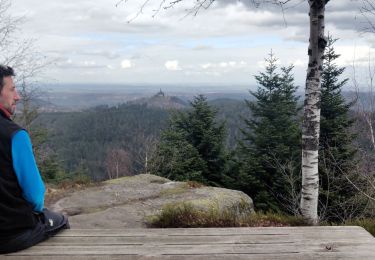
Boucle à la journée au départ du camping du rocher de Dabo.
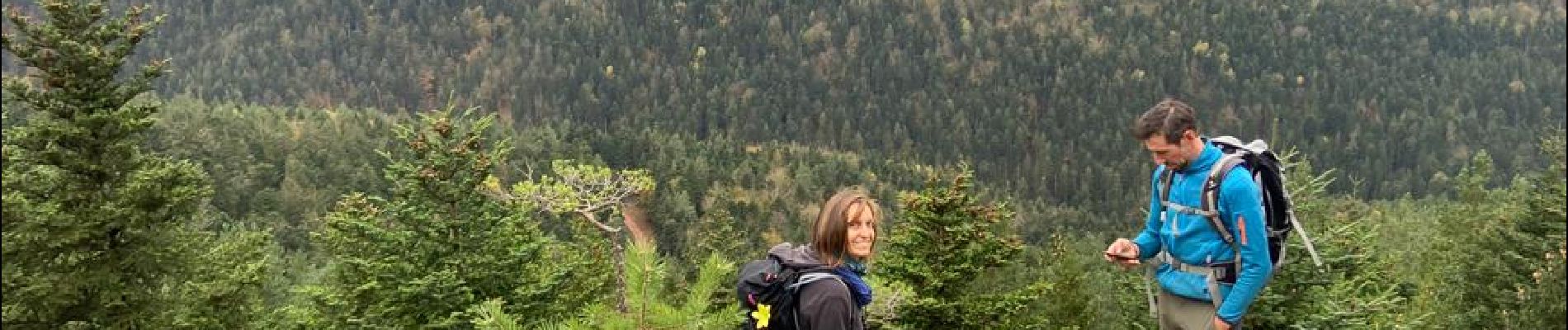
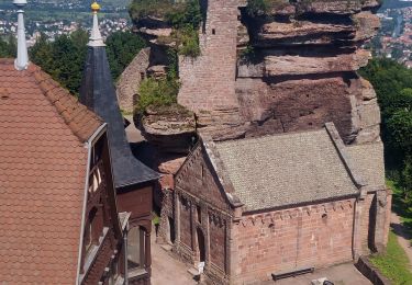
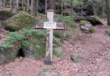
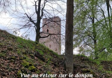
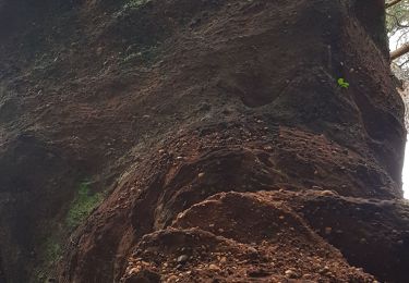
Passage par la Hoube, le Kuhlbergkopf, la M.F. de Kempel, le Pfannenfels, la grotte des Francs-Tireurs, la M.F. de Kreuzkopf, la chapelle de St-Fridolin, la M.F. de Haselbourg, le Falkenfels et ses maisons troglodytes où nous avons fait la pause avec une belle vue sur le rocher de Dabo, le Heidenschlossfels, les longs rochers du Geisterfelsen, et pour finir le rocher de Dabo avec sa chapelle St-Léon au coucher du soleil.

Marche
Marche
Marche

Marche

Marche

V.T.T.
Marche
Marche nordique