


6,7 km | 7,3 km-effort


Club randonnées SERVON


Application GPS de randonnée GRATUITE
 SityTrail
IGN / Instituts géographiques
SityTrail World
Le monde est à vous
Randonnée A pied de 10,5 km à découvrir à Centre-Val de Loire, Indre-et-Loire, Chenonceaux. Cette randonnée est proposée par Les 1000 pattes.
Parking du château de Chenonceaux (gratuit)
Peut être raccourcie à la cote 69 vers le parking

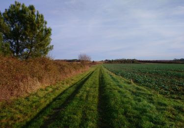
Marche

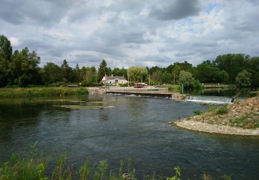
Marche
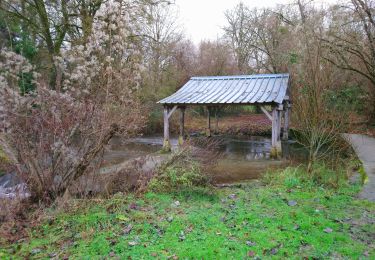
Marche
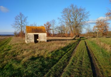
Marche

Marche
Marche
Marche

Marche

Marche