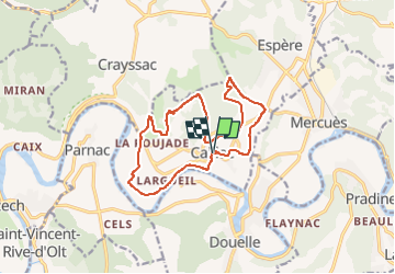

7,1 km | 9,3 km-effort


Utilisateur


Application GPS de randonnée GRATUITE
 SityTrail
IGN / Instituts géographiques
SityTrail World
Le monde est à vous
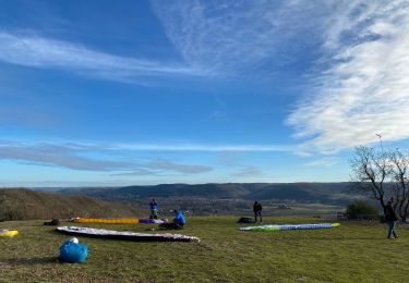
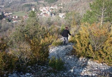
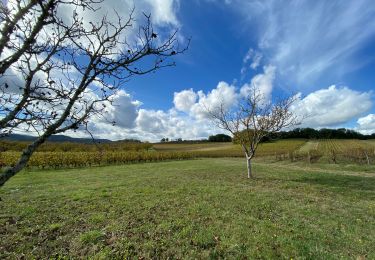
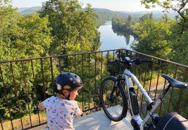
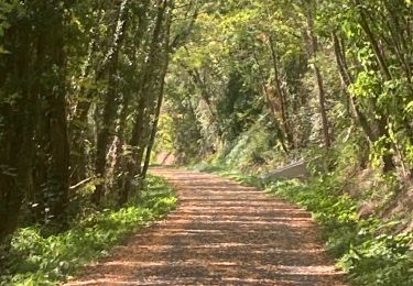
Randonnée Marche de 15 km à découvrir à Occitanie, Lot, Caillac. Cette randonnée est proposée par houbart.
Départ de Caillac. De beaux points de vue et passage près du château de Lagrezette et du château de Langle

Marche

Marche
Marche
Marche

Marche
V.T.C.
Marche