Randonnée Marche Hastingues - Long de la Bidouze - Photo
 bunji
bunji

Utilisateur

© OpenStreetMap contributors
Longueur
Longueur
4 km
Altitude max
Altitude max
13 m
Dénivelé positif
Dénivelé positif
31 m
Km-Effort
Km-Effort  
4,4 km
Altitude min
Altitude min
-3 m
Dénivelé négatif
Dénivelé négatif
22 m
Boucle
Boucle
Oui
Date de création :
2022-12-28 14:02:16.0
Dernière modification :
2022-12-28 15:07:33.957

(0 Avis)

Marche
Marche
1h04
Difficulté : Facile

Scannez ce code QR pour ouvrir la randonnée dans l'application SityTrail

Application GPS de randonnée GRATUITE

Logo SityTrail SityTrail

IGN / Instituts géographiques

Télécharger SityTrail sur l'App Store Télécharger SityTrail sur Google Play

Logo SityTrail SityTrail World

Le monde est à vous

Télécharger SityTrail sur l'App Store Télécharger SityTrail sur Google Play Télécharger SityTrail sur Huawei AppGallery

À propos

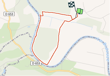
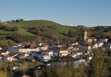
Randonnée Marche de 4 km à découvrir à Nouvelle-Aquitaine, Landes, Hastingues. Cette randonnée est proposée par bunji.

Description

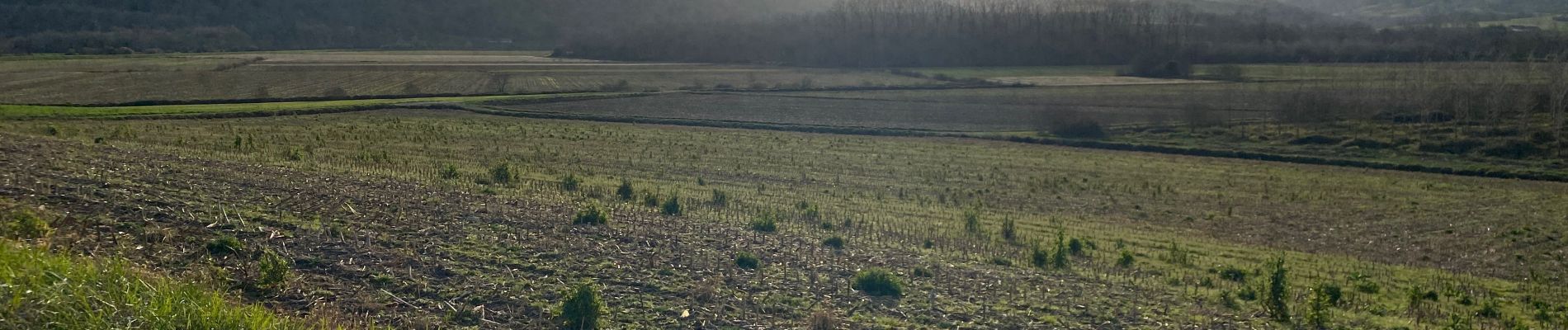
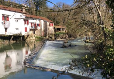
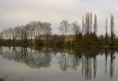
Chemin sympa, sur la digue en bord de rivière.
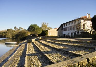
En face c’est goudronné

Profil altimétrique

Photos

Localisation

Pays :
France
Région :
Nouvelle-Aquitaine
Département/Province :
Landes
Commune :
Hastingues
Localité :
Unknown
Départ:(Dec)
Départ:(UTM)
648899 ; 4818080 (30T) N.

Randonnées à proximité

Randonnée Marche Bidache - Bidache Came Boucle Bidouze - Photo
Marche
jaja64

Marche

Très facile
Bidache, Nouvelle-Aquitaine, Pyrénées-Atlantiques, France
11,2 km | 12,9 km-effort
2h 50min
Oui
Randonnée A pied Hastingues -  HASTINGUES PATRIMOINE G4 - Photo
A pied
GUIDE
marmotte65

A pied

Facile
Hastingues, Nouvelle-Aquitaine, Landes, France
8,8 km | 11 km-effort
2h 29min
Oui
Randonnée Marche Hastingues - hastingues G4fait  - Photo
Marche
LouisROGER

Marche

Très facile
Hastingues, Nouvelle-Aquitaine, Landes, France
9,1 km | 11,3 km-effort
5h 6min
Oui
Randonnée Cheval Came - Came - Pessarou - Photo
Cheval
tracegps

Cheval

Moyen
Came, Nouvelle-Aquitaine, Pyrénées-Atlantiques, France
21 km | 28 km-effort
4h 0min
Non
Randonnée Cheval Came - Came - Sames - Photo
Cheval
tracegps

Cheval

Moyen
Came, Nouvelle-Aquitaine, Pyrénées-Atlantiques, France
41 km | 49 km-effort
8h 0min
Non
Randonnée Cheval Sames - Sames - La Bastide Clairence - Photo
Cheval
tracegps

Cheval

Difficile
Sames, Nouvelle-Aquitaine, Pyrénées-Atlantiques, France
30 km | 36 km-effort
5h 0min
Non
Randonnée V.T.T. Bidache - Château et Bidouze - Bidache - Photo
V.T.T.
tracegps

V.T.T.

Moyen
Bidache, Nouvelle-Aquitaine, Pyrénées-Atlantiques, France
11 km | 12,7 km-effort
1h 19min
Oui
Randonnée Marche Bidache - Château et Bidouze - Bidache - Photo
Marche
tracegps

Marche

Difficile
(1)
Bidache, Nouvelle-Aquitaine, Pyrénées-Atlantiques, France
11 km | 12,7 km-effort
3h 10min
Oui
Randonnée V.T.C. Bidache - bidache guiche - Photo
V.T.C.
Dan30

V.T.C.

Facile
Bidache, Nouvelle-Aquitaine, Pyrénées-Atlantiques, France
20 km | 23 km-effort
1h 38min
Oui


Fermer
Mes abonnements