


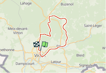
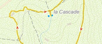


29 km | 35 km-effort


Utilisateur


Application GPS de randonnée GRATUITE
 SityTrail
IGN / Instituts géographiques
SityTrail World
Le monde est à vous
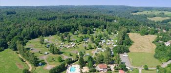
Randonnée V.T.T. de 23 km à découvrir à Wallonie, Luxembourg, Virton. Cette randonnée est proposée par Pascal L.
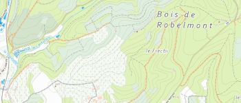
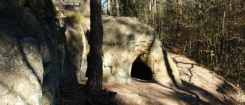
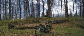
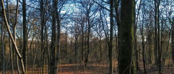
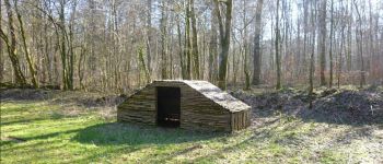
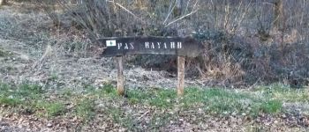
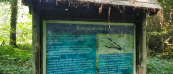
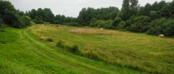
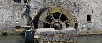
Balade hivernale sous la pluie, dans le "Bois du Bonlieu" à Virton ... rencontre avec un "mur" au kilomètre 7.3 - le sentier est quasi-impraticable, creusé par des engins forestier (de bûcheronnage et de débardage) qui ne respectent plus l'environnement.
Ref.
- https://fr.wikipedia.org/wiki/Engin_forestier
- https://fr.wikipedia.org/wiki/Débardage
- https://www.sonuma.be/archive/ce-pays-est-a-vous-du-14041970 (La Gaume)
(2022.12.23)


Marche

V.T.T.

Marche

A pied

Marche

Marche

V.T.T.

V.T.T.

V.T.T.