


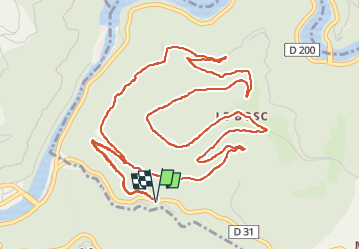

18,2 km | 24 km-effort


Utilisateur


Application GPS de randonnée GRATUITE
 SityTrail
IGN / Instituts géographiques
SityTrail World
Le monde est à vous
Randonnée Marche de 8,3 km à découvrir à Occitanie, Aveyron, Saint-Victor-et-Melvieu. Cette randonnée est proposée par Pascal Lemaire.
randonnée du bosq le truel
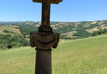
Marche
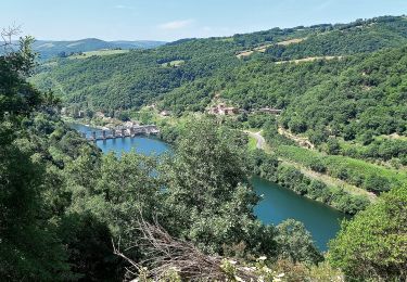
Marche
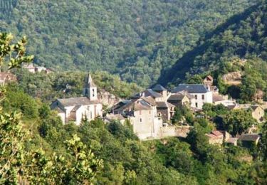
Marche

Marche

Marche
Marche
Marche
Marche