


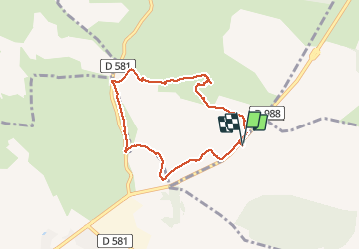

3,2 km | 3,7 km-effort


Utilisateur


Application GPS de randonnée GRATUITE
 SityTrail
IGN / Instituts géographiques
SityTrail World
Le monde est à vous
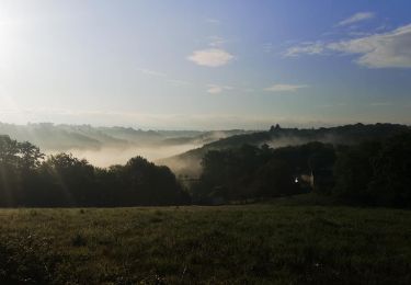
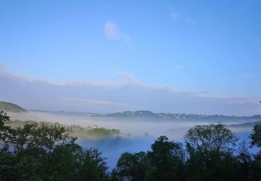
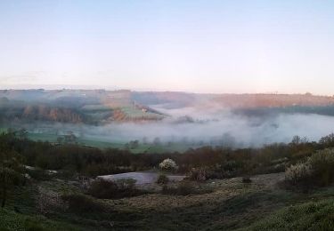
Randonnée Marche de 7 km à découvrir à Occitanie, Aveyron, Montrozier. Cette randonnée est proposée par Lacaze.
depart CA causse comtal route de Gages et D988
A pied
A pied

Marche
A pied

V.T.T.
V.T.T.
V.T.T.
V.T.T.

V.T.T.