


32 km | 46 km-effort


Utilisateur


Application GPS de randonnée GRATUITE
 SityTrail
IGN / Instituts géographiques
SityTrail World
Le monde est à vous
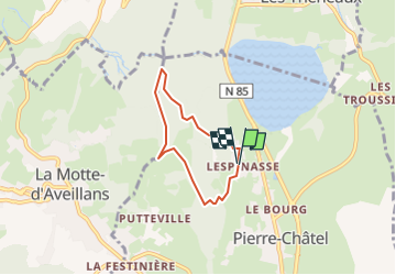
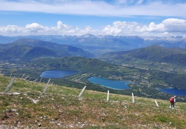
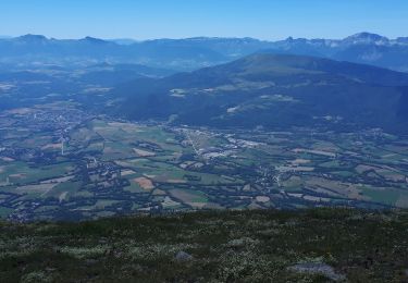
Randonnée Marche de 4,8 km à découvrir à Auvergne-Rhône-Alpes, Isère, Pierre-Châtel. Cette randonnée est proposée par 429934.
Départ parking l'Espinasse - Pierre Chatel

V.T.T.
Marche
V.T.T.
Marche
Marche
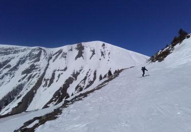
Ski de randonnée
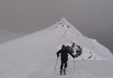
Ski de randonnée
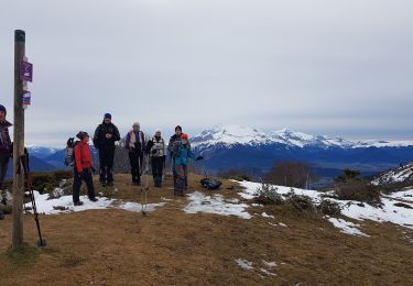
Marche
Marche