


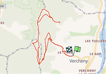

14,2 km | 23 km-effort


Utilisateur


Application GPS de randonnée GRATUITE
 SityTrail
IGN / Instituts géographiques
SityTrail World
Le monde est à vous
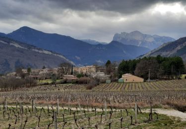
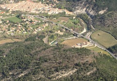
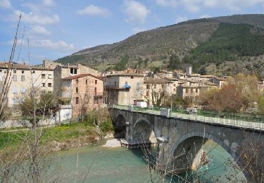
Randonnée Marche de 15,8 km à découvrir à Auvergne-Rhône-Alpes, Drôme, Vercheny. Cette randonnée est proposée par ajd26.
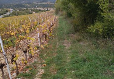
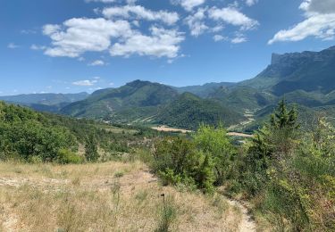
beaux panoramas tout au long du parcours
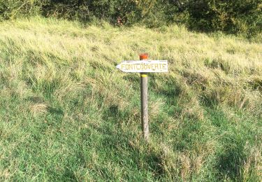
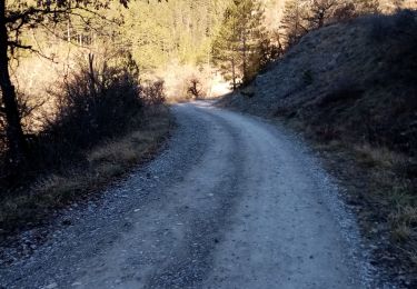
attention au passage sur les crêtes de Gaudichart à partir du km 9,5, le sentier est très peu marqué et la progression est délicate (beaucoup de rochers) mais pas dangereuse
Marche

V.T.T.

Marche
Marche
Marche
Marche
Marche
Marche
Marche