


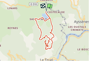

10,4 km | 11,9 km-effort


Utilisateur


Application GPS de randonnée GRATUITE
 SityTrail
IGN / Instituts géographiques
SityTrail World
Le monde est à vous
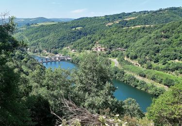
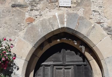
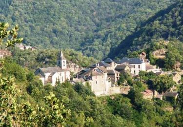
Randonnée Marche de 8,7 km à découvrir à Occitanie, Aveyron, Le Truel. Cette randonnée est proposée par Pascal Lemaire.
rando autour du lac de saint amans

Marche
Marche
Marche
Marche

Marche

Marche
Marche
Marche
Marche