


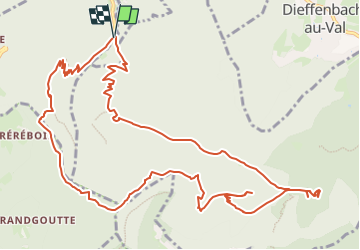

22 km | 33 km-effort

Utilisateur


Application GPS de randonnée GRATUITE
 SityTrail
IGN / Instituts géographiques
SityTrail World
Le monde est à vous
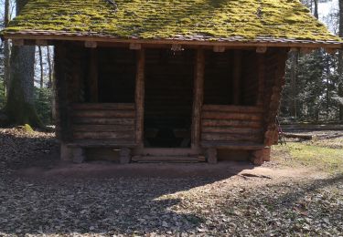
Randonnée Marche de 14,5 km à découvrir à Grand Est, Bas-Rhin, Breitenau. Cette randonnée est proposée par nfranche.
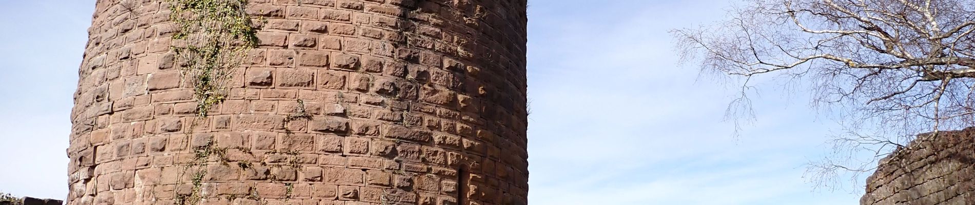
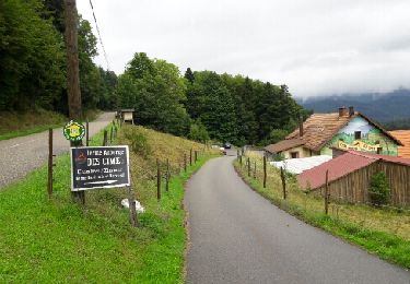
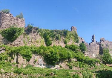
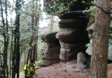
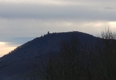
Rando sans difficulté particulière, juste la descente des marches sous le rocher de la Salière. Château de Frankenbourg très intéressant et de nombreux beaux rochers et belvédères.


Marche

V.T.T.
Marche

Marche

Marche
Marche
Marche
Marche