


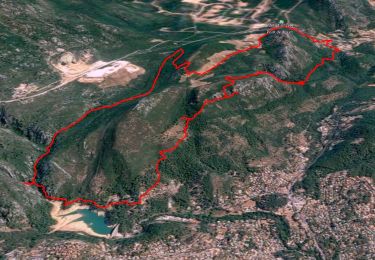
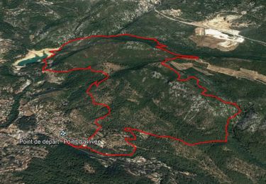
14,1 km | 21 km-effort

Utilisateur


Application GPS de randonnée GRATUITE
 SityTrail
IGN / Instituts géographiques
SityTrail World
Le monde est à vous
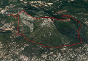
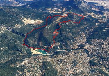
Randonnée Marche de 24 km à découvrir à Provence-Alpes-Côte d'Azur, Var, La Valette-du-Var. Cette randonnée est proposée par Christiancordin.
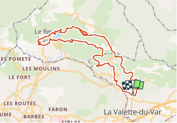
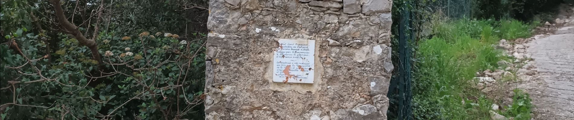
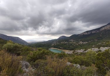
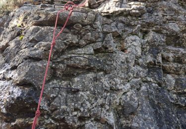
PK jardin remarquable de Baudouvin-St Honorat-Oratoire-source de la Ripelle-grotte-château de Tourris-le Touravelle-barrage de Dardenne-le Revest les Eaux-les Olivières-conservatoire des oliviers-Baudouvin


Marche
Marche
Marche
Marche

Marche
Marche
Marche
Marche
Marche