


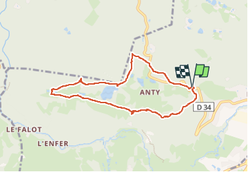


15,1 km | 21 km-effort

Utilisateur


Application GPS de randonnée GRATUITE
 SityTrail
IGN / Instituts géographiques
SityTrail World
Le monde est à vous
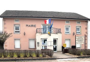
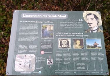
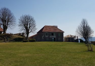
Randonnée Marche de 7,6 km à découvrir à Grand Est, Vosges, Saint-Nabord. Cette randonnée est proposée par annefrance70.


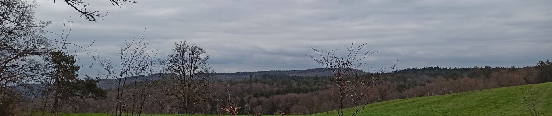
A pied
A pied
A pied
A pied

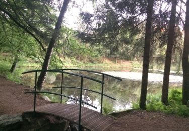
Marche
Marche
Marche
A pied
A pied