


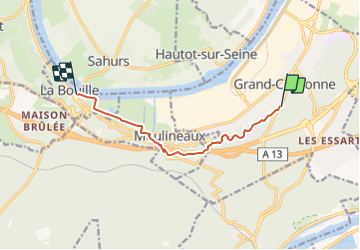

11 km | 12,2 km-effort


Utilisateur


Application GPS de randonnée GRATUITE
 SityTrail
IGN / Instituts géographiques
SityTrail World
Le monde est à vous
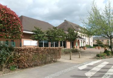
Randonnée Marche de 7,1 km à découvrir à Normandie, Seine-Maritime, Grand-Couronne. Cette randonnée est proposée par philippe76.
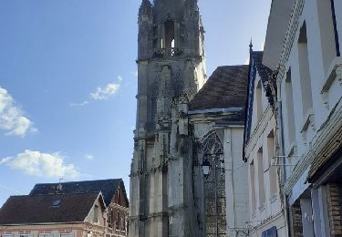
A Gd Couronne prendre AG au rond point, la D132 Avenue Foch, puis après la voie de la Londe sur la droite, départ du Chemin de Randonnée sur la droite. A la Maredote AD au panneau de la CREA et monter (assez raide) et AD vers la rte ftière du Grésil. AD, passer sous l'autoroute, AD toujours sur la rte ftière du Grésil. AD vers le Château Robert Le Diable (visite possible). Prendre AD le chemin (au pieds du monument aux morts)et descendre vers Moulineaux par le GR2, traverser la D3, AG rue Louis Moguen -D62-; AD sur le GR2, AG GR2, AD aux jardins ouvriers encore AG GR2; AD et AG GR2; TD GR2, AD GR2 et AG en bord de Seine jusqu'au bac, point final.
Marche
Marche
Marche

Marche
Marche
Marche
Marche
Marche
Marche