20 km | 28 km-effort
tendon
lacote
Utilisateur
Longueur
9 km
Altitude max
719 m
Dénivelé positif
333 m
Km-Effort
13,2 km
Altitude min
488 m
Dénivelé négatif
255 m
Boucle
Non
Date de création :
2014-12-10 00:00:00.0
Dernière modification :
2014-12-10 00:00:00.0
2h43
Difficulté : Moyen
Application GPS de randonnée GRATUITE
À propos
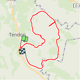
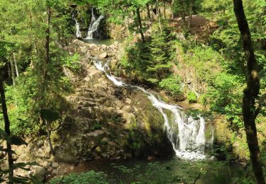
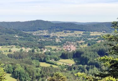
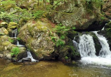
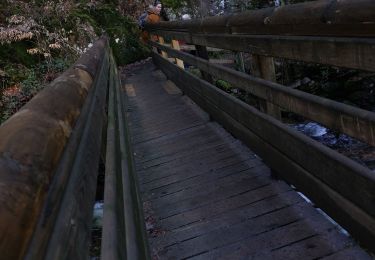
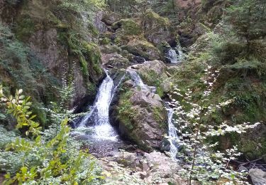
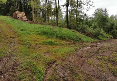
Randonnée Marche de 9 km à découvrir à Grand Est, Vosges, Tendon. Cette randonnée est proposée par lacote.
Localisation
Pays :
France
Région :
Grand Est
Département/Province :
Vosges
Commune :
Tendon
Localité :
Unknown
Départ:(Dec)
Départ:(UTM)
327373 ; 5331894 (32U) N.
Commentaires
Randonnées à proximité
Cascades de Tendon - Trou de l'Enfer - Roches de la Moulure
Marche
Moyen
(3)
Tendon,
Grand Est,
Vosges,
France
5h 33min
Oui
eloyes champ dolant
Marche
Moyen
(2)
Éloyes,
Grand Est,
Vosges,
France
8,2 km | 12,4 km-effort
2h 26min
Oui
2022-06-03 Rando CVA Le Tholy Gerbamont
Randonnée équestre
Très difficile
Le Tholy,
Grand Est,
Vosges,
France
28 km | 41 km-effort
6h 25min
Non
2022-06-02 Rando CVA Le Tholy Tête des Cuveaux
Randonnée équestre
Difficile
Le Tholy,
Grand Est,
Vosges,
France
28 km | 40 km-effort
5h 19min
Oui
2022-06-01 Rando CVA Le Tholy Boucle Cascades du Tendon
Randonnée équestre
Difficile
Le Tholy,
Grand Est,
Vosges,
France
24 km | 34 km-effort
5h 16min
Oui
cascade du tendon
Marche
Difficile
Tendon,
Grand Est,
Vosges,
France
8,6 km | 12,2 km-effort
2h 44min
Oui
Les cuveaux à Eloyes
Marche
Facile
Saint-Étienne-lès-Remiremont,
Grand Est,
Vosges,
France
4,5 km | 5,6 km-effort
1h 23min
Non