


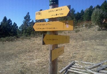
13,3 km | 23 km-effort


Utilisateur


Application GPS de randonnée GRATUITE
 SityTrail
IGN / Instituts géographiques
SityTrail World
Le monde est à vous
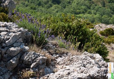
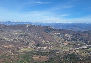
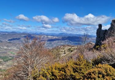
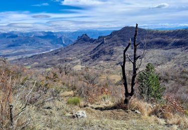
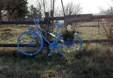
Randonnée Marche de 12,2 km à découvrir à Provence-Alpes-Côte d'Azur, Alpes-de-Haute-Provence, Châteauneuf-Miravail. Cette randonnée est proposée par PapouBertrand.
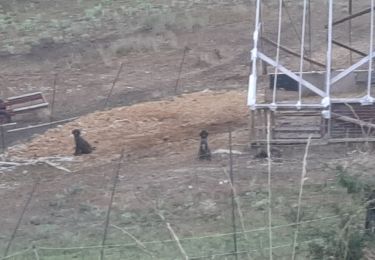
Attention le Pousterlon difficile d'accès et sentier très difficile à trouver et végétation très dense...
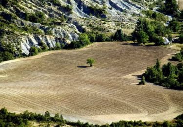
Passage par la Parandière déconseillé.
Marche
Marche
Marche
Marche
Marche
Marche

Course à pied
Marche
Course à pied