


17,1 km | 21 km-effort


Utilisateur


Application GPS de randonnée GRATUITE
 SityTrail
IGN / Instituts géographiques
SityTrail World
Le monde est à vous
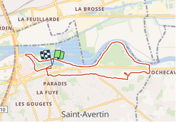
Randonnée Marche de 9,3 km à découvrir à Centre-Val de Loire, Indre-et-Loire, Saint-Avertin. Cette randonnée est proposée par Orcal37.
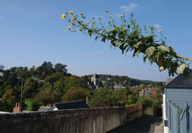
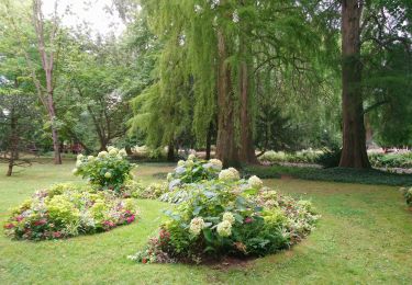
Saint-Avertin - PR Sentier du vieux Cher, Cangé - 9.3km 95m 2h05 (20mn) - 2023 07 12
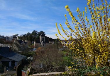
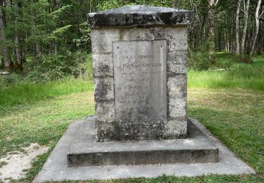
 - 2023 07 12 - Photo 1")
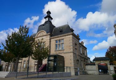
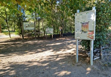
 - 2023 07 12 - Photo 2")
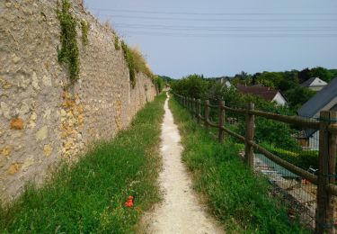
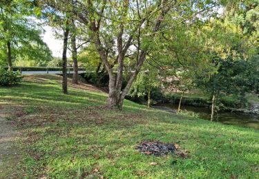
 - 2023 07 12 - Photo 3")
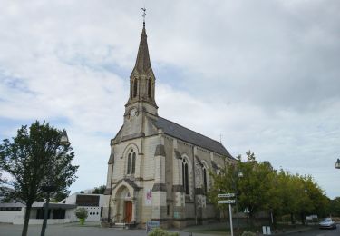
 - 2023 07 12 - Photo 4")
 - 2023 07 12 - Photo 5")
Marche
Marche
Marche
Marche
Marche
Marche
Marche
Marche
Marche