


24 km | 25 km-effort


Utilisateur


Application GPS de randonnée GRATUITE
 SityTrail
IGN / Instituts géographiques
SityTrail World
Le monde est à vous
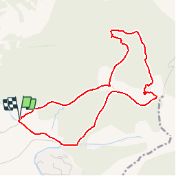
Randonnée Marche de 4,8 km à découvrir à Provence-Alpes-Côte d'Azur, Vaucluse, Velleron. Cette randonnée est proposée par clanglume.
Randonnée facile. Selon les randonneurs la durée peut aller jusqu'à 2 h 20' à cause du dénivelé.
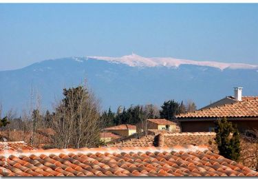
Paysage très agréable.
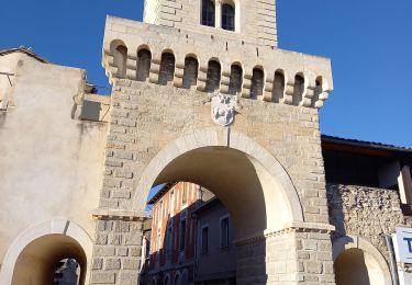
 Pont des Arrayies - Photo 1")
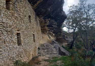
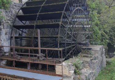
 Pont des Arrayies - Photo 2")
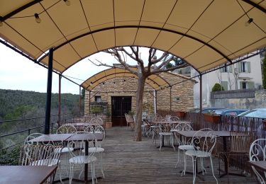
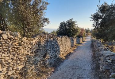
 Pont des Arrayies - Photo 3")
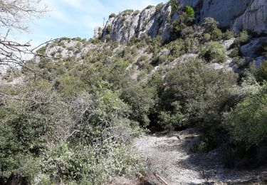
 Pont des Arrayies - Photo 4")
 Pont des Arrayies - Photo 5")
Vélo

Marche
Marche
Marche
V.T.C.

Marche
Marche
Marche
Marche