


Maillé - PR Vallées et plateaux - 15.1km 135m 3h20 (35mn) - 2023 08 06

Orcal37
Utilisateur GUIDE


Longueur
15,2 km

Altitude max
101 m

Dénivelé positif
136 m
Km-Effort
17 km

Altitude min
47 m

Dénivelé négatif
136 m
Boucle
Oui
Date de création :
2023-08-06 08:11:56.839
Dernière modification :
2025-07-18 15:54:41.161
3h20
Difficulté : Très facile

Application GPS de randonnée GRATUITE
 SityTrail
IGN / Instituts géographiques
SityTrail Plus
Le monde est à vous
À propos
Randonnée Marche de 15,2 km à découvrir à Centre-Val de Loire, Indre-et-Loire, Maillé. Cette randonnée est proposée par Orcal37.
Description
Maillé - PR Vallées et plateaux - 15.1km 135m 3h20 (35mn) - 2023 08 06
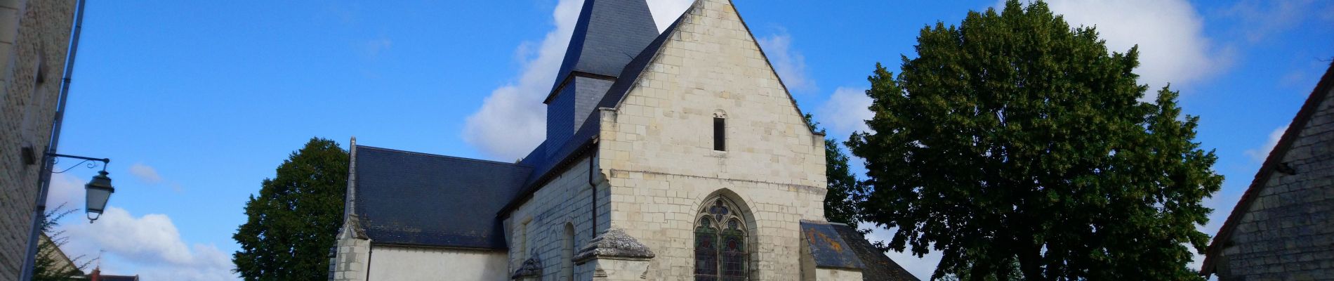
Photos
 - 2023 08 06 - Photo 1")
 - 2023 08 06 - Photo 2")
 - 2023 08 06 - Photo 3")
 - 2023 08 06 - Photo 4")
 - 2023 08 06 - Photo 5")
 - 2023 08 06 - Photo 6")
 - 2023 08 06 - Photo 7")
Localisation
Pays :
France
Région :
Centre-Val de Loire
Département/Province :
Indre-et-Loire
Commune :
Maillé
Localité :
Unknown
Départ:(Dec)
Départ:(UTM)
316078 ; 5213568 (31T) N.
Commentaires