


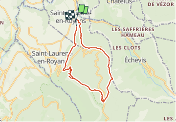

10,1 km | 22 km-effort

Utilisateur


Application GPS de randonnée GRATUITE
 SityTrail
IGN / Instituts géographiques
SityTrail World
Le monde est à vous
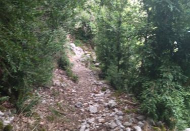
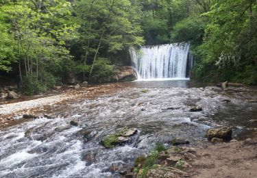
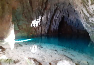
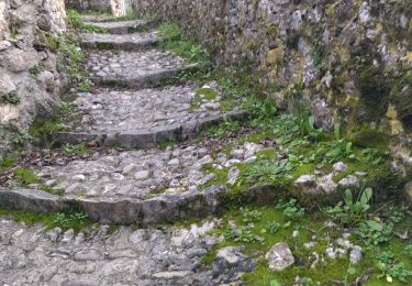
Randonnée Marche de 14,8 km à découvrir à Auvergne-Rhône-Alpes, Drôme, Sainte-Eulalie-en-Royans. Cette randonnée est proposée par himba26100.
zel


Marche

Marche
Marche
Marche
V.T.T.
Marche
Marche nordique
Marche
Marche